


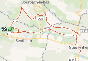

19,9 km | 34 km-effort


Utilisateur


Application GPS de randonnée GRATUITE
 SityTrail
IGN / Instituts géographiques
SityTrail World
Le monde est à vous
Randonnée A pied de 13,4 km à découvrir à Grand Est, Haut-Rhin, Sentheim. Cette randonnée est proposée par patrickbeyrath.
Repas au restaurant de la Gare à Guewenheim

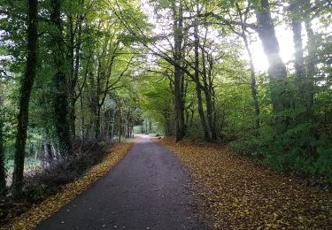
Marche

Marche

Marche

A pied

Marche


Marche