


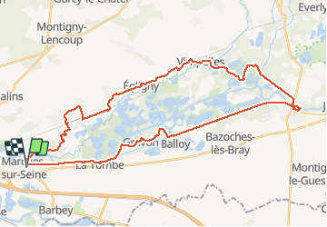

45 km | 50 km-effort


Utilisateur


Application GPS de randonnée GRATUITE
 SityTrail
IGN / Instituts géographiques
SityTrail World
Le monde est à vous
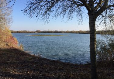
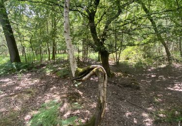
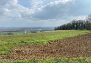
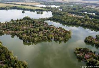
Randonnée Marche de 44 km à découvrir à Île-de-France, Seine-et-Marne, Marolles-sur-Seine. Cette randonnée est proposée par chessyca.
Dernière rando de l'année à l'initiative de Thierry
Superbe parcours notamment l'après midi
En cette saison, beaucoup de villages décorés

Vélo de route
Marche nordique
A pied
Marche nordique
Marche nordique
Marche
Marche nordique
Marche
Marche