


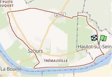

11 km | 12,2 km-effort

Utilisateur


Application GPS de randonnée GRATUITE
 SityTrail
IGN / Instituts géographiques
SityTrail World
Le monde est à vous
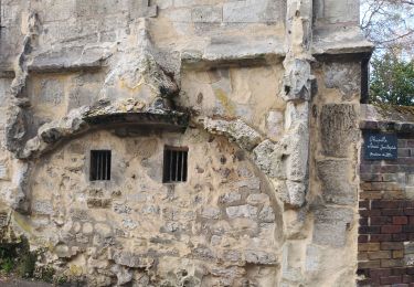
Randonnée Marche de 11 km à découvrir à Normandie, Seine-Maritime, Hautot-sur-Seine. Cette randonnée est proposée par MichelRando7656.
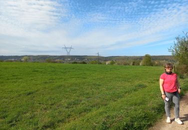
Promenade de 3 km le long de la Seine . Par un joli chemin perpendiculaire traversée vers Marbeuf. Parcours à travers Sahurs jusqu'à la ligne HT et montée vers la forêt. Parcours de 3 km puis retour au parking


Marche
Marche

Marche

A pied
Marche
Marche
Marche

Marche
Marche