


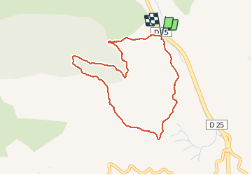

18,2 km | 25 km-effort

Utilisateur


Application GPS de randonnée GRATUITE
 SityTrail
IGN / Instituts géographiques
SityTrail World
Le monde est à vous
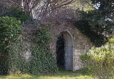
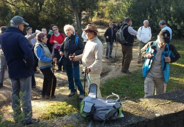
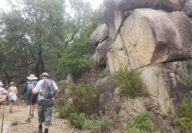
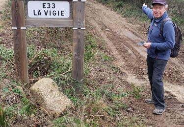
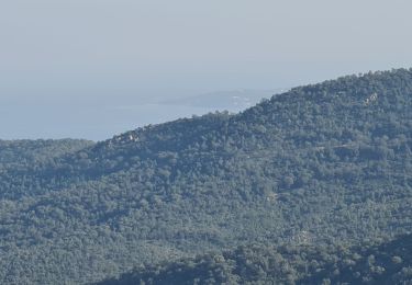
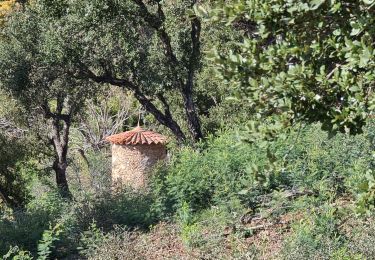
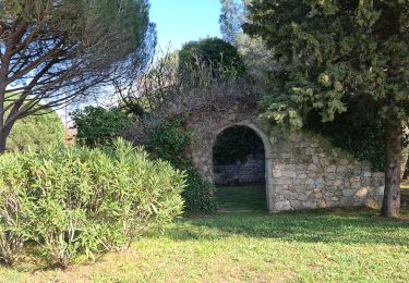
Randonnée Marche de 4,2 km à découvrir à Provence-Alpes-Côte d'Azur, Var, Sainte-Maxime. Cette randonnée est proposée par jean-marie.parachini.
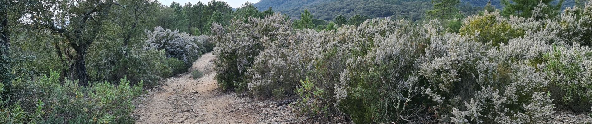
beau parcours panoramique


Marche
Marche
Marche
Marche
Marche
Marche
Marche
Marche
Marche