


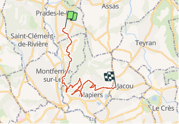

12,4 km | 15,8 km-effort

Utilisateur


Application GPS de randonnée GRATUITE
 SityTrail
IGN / Instituts géographiques
SityTrail World
Le monde est à vous
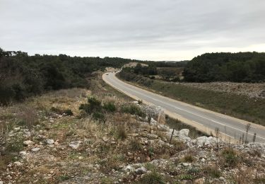
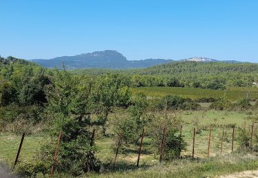
Randonnée V.T.T. de 12,5 km à découvrir à Occitanie, Hérault, Prades-le-Lez. Cette randonnée est proposée par Baptiste L..


A pied

V.T.T.
Marche

Marche

Marche
Autre activité