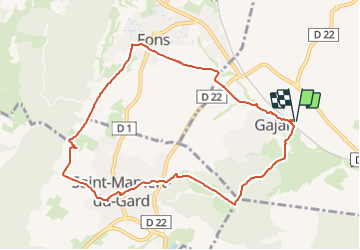

14,4 km | 16,3 km-effort


Utilisateur


Application GPS de randonnée GRATUITE
 SityTrail
IGN / Instituts géographiques
SityTrail World
Le monde est à vous
Randonnée Marche de 9,9 km à découvrir à Occitanie, Gard, Gajan. Cette randonnée est proposée par jll7513.
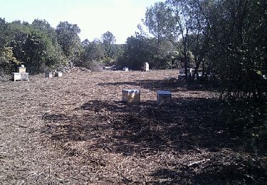
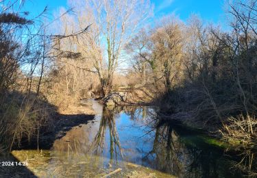
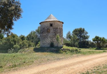
Boucle du parking dans le village, il n'y en a pas de parking au cimetière. On est tout de suite dans les vignes, puis des chemins interessants, très roulants. Pour finir une belle vue sur le pic Saint Loup. Peu de passages ombragés.


Marche

Marche
Marche
Marche

Marche