


37 km | 41 km-effort

Utilisateur


Application GPS de randonnée GRATUITE
 SityTrail
IGN / Instituts géographiques
SityTrail World
Le monde est à vous
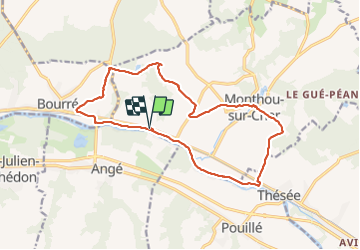
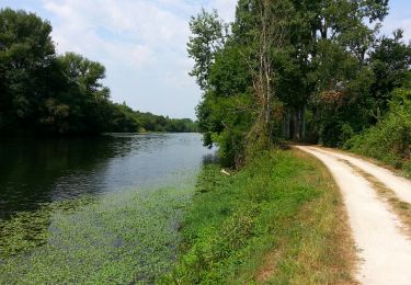
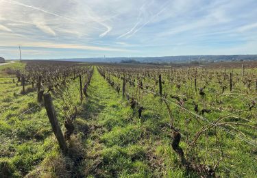
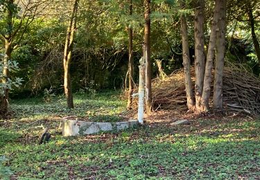
Randonnée Marche de 15,9 km à découvrir à Centre-Val de Loire, Loir-et-Cher, Monthou-sur-Cher. Cette randonnée est proposée par Orcal37.
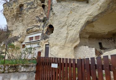
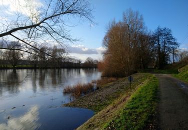
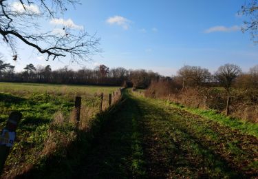
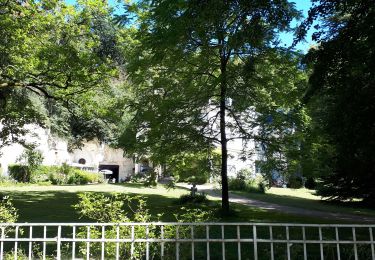
Monthou-sur-Cher - Bourré Thésée GR41 - 15.9km 190m 3h55 (30mn) - 2021 08 31
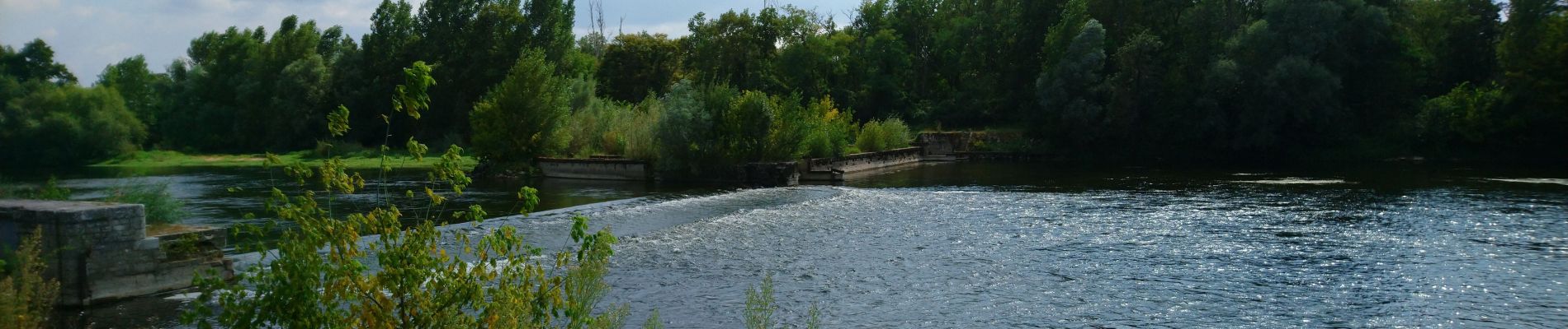
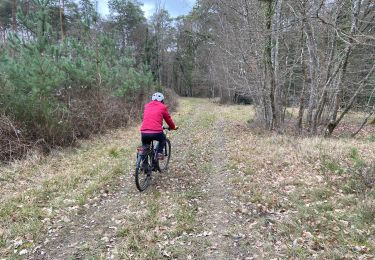
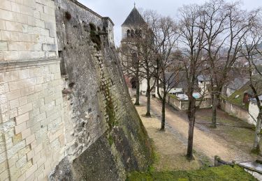
 - 2021 08 31 - Photo 1")
 - 2021 08 31 - Photo 2")
 - 2021 08 31 - Photo 3")
 - 2021 08 31 - Photo 4")
 - 2021 08 31 - Photo 5")
 - 2021 08 31 - Photo 6")
 - 2021 08 31 - Photo 7")
V.T.T.
V.T.T.
Marche
Marche
Marche
Marche
Marche
Marche
Marche