


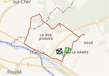

7,6 km | 8,5 km-effort

Utilisateur


Application GPS de randonnée GRATUITE
 SityTrail
IGN / Instituts géographiques
SityTrail World
Le monde est à vous
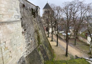
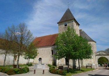
Randonnée Marche de 8,6 km à découvrir à Centre-Val de Loire, Loir-et-Cher, Thésée. Cette randonnée est proposée par Alain-luypaert.
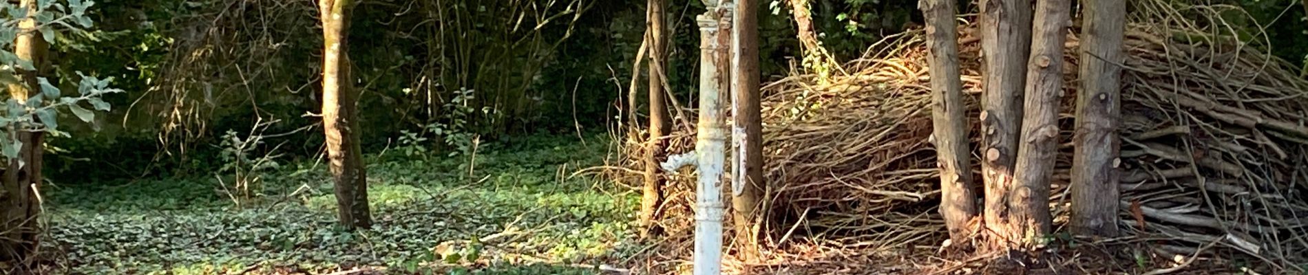
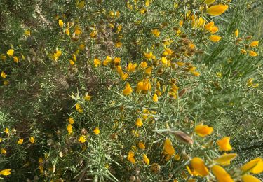
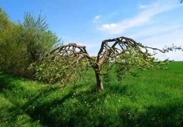
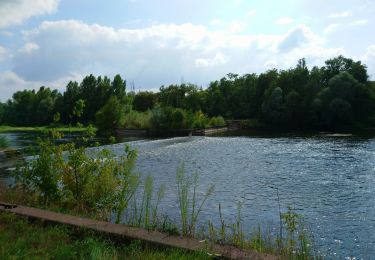
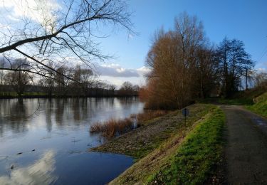
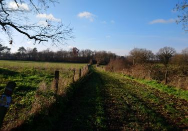
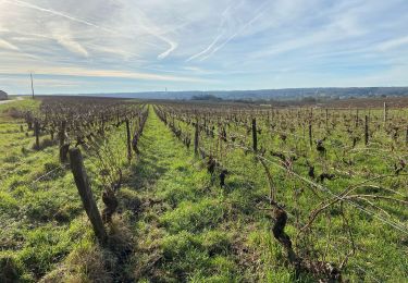
Larges chemins entre vignes et forêts


Marche
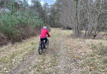
V.T.T.
V.T.T.
Marche
Marche
Marche
Marche
Marche
Marche