


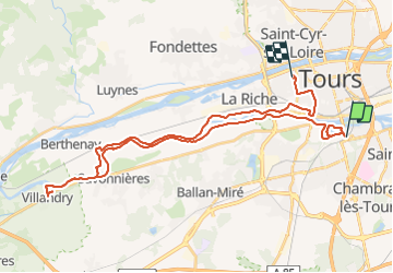

29 km | 33 km-effort


Utilisateur


Application GPS de randonnée GRATUITE
 SityTrail
IGN / Instituts géographiques
SityTrail World
Le monde est à vous
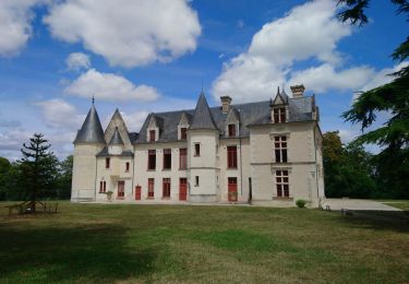
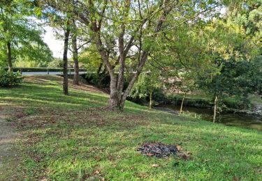
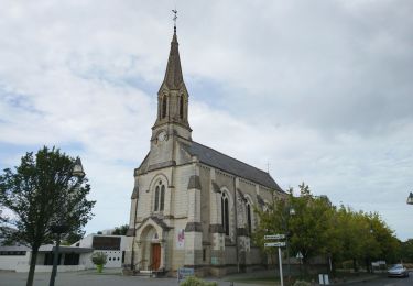
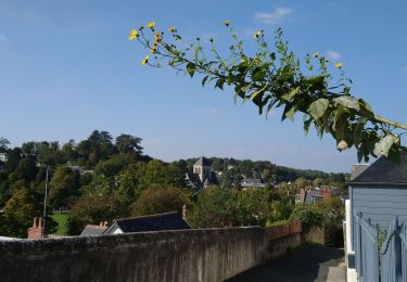
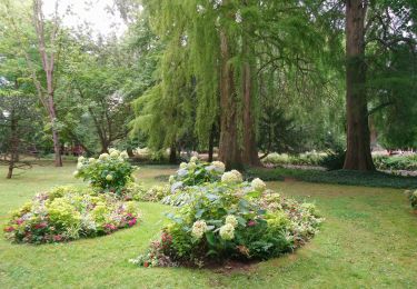
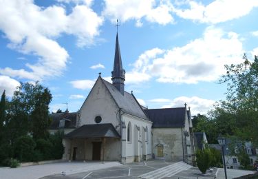
Randonnée V.T.C. de 41 km à découvrir à Centre-Val de Loire, Indre-et-Loire, Tours. Cette randonnée est proposée par rgo76.
Marche
Marche
Marche
Marche
Marche
Marche
Marche
Marche
Marche