


10,7 km | 12,7 km-effort

Utilisateur


Application GPS de randonnée GRATUITE
 SityTrail
IGN / Instituts géographiques
SityTrail World
Le monde est à vous
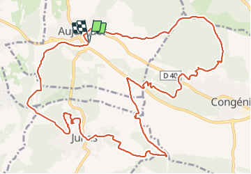
Randonnée Marche de 16,4 km à découvrir à Occitanie, Gard, Aujargues. Cette randonnée est proposée par v.rabot.
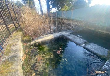
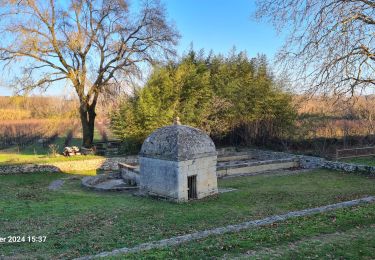
Randonnée sans difficulté, juste un petit passage plus délicat vers le 9Km. Passage au Mazet de Daniel Lebrun, décédé en 2003, qui a patiemment amassés, observés, taillés et mis en scène de nombreuses pierres autour de son Mazet.
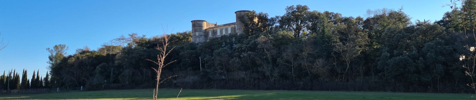
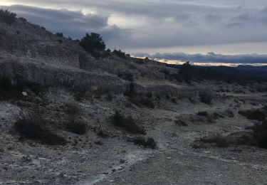
Parcours dans les carrière de Junas et reout en passant au pied du château d'Aujargues.


Marche

Marche

Marche

Marche
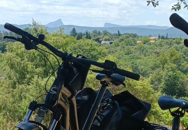
Vélo électrique
Marche
Marche
Marche