


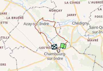

12,8 km | 14,7 km-effort

Tous les sentiers balisés d’Europe PRO


Application GPS de randonnée GRATUITE
 SityTrail
IGN / Instituts géographiques
SityTrail World
Le monde est à vous
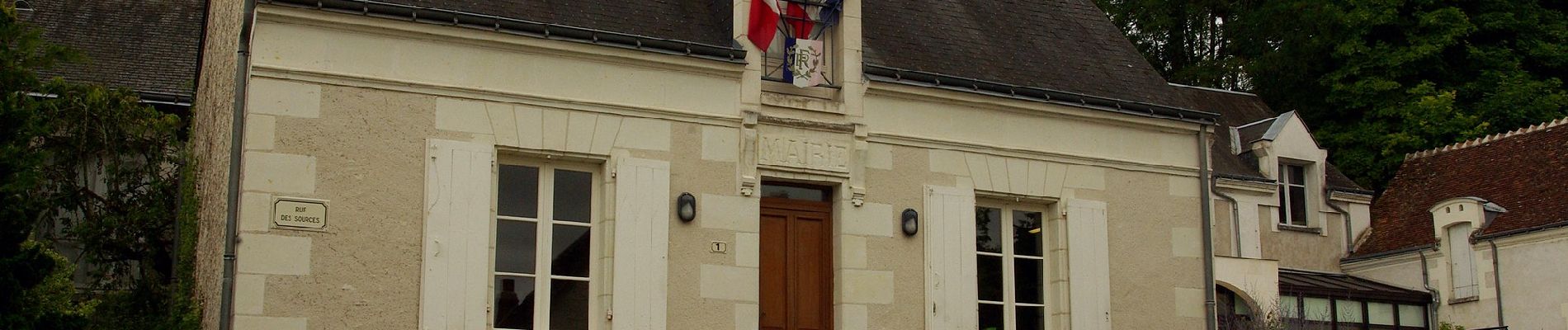
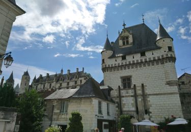
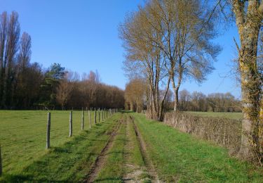
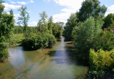
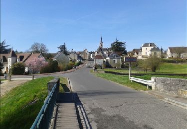
Randonnée A pied de 10,4 km à découvrir à Centre-Val de Loire, Indre-et-Loire, Chambourg-sur-Indre. Cette randonnée est proposée par SityTrail - itinéraires balisés pédestres.


A pied
Marche
Marche
Marche

Marche
Marche

V.T.C.

A pied
A pied