


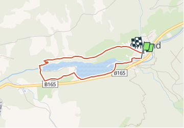

5,7 km | 7,7 km-effort

Tous les sentiers balisés d’Europe PRO


Application GPS de randonnée GRATUITE
 SityTrail
IGN / Instituts géographiques
SityTrail World
Le monde est à vous
Randonnée A pied de 3,1 km à découvrir à Tyrol, Bezirk Schwaz, Gemeinde Gerlos. Cette randonnée est proposée par SityTrail - itinéraires balisés pédestres.
Randonnée créée par Gerlos.
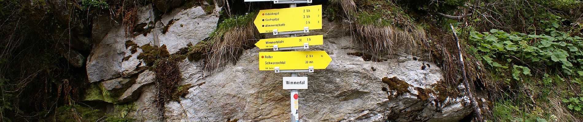
Symbole: Gelbe Blechschilder mit blauem Richtungspfeil und violettem, unteren Rand


A pied
A pied

A pied

A pied
A pied

Marche
Marche
Marche
Marche