


5,8 km | 7,3 km-effort


Utilisateur GUIDE


Application GPS de randonnée GRATUITE
 SityTrail
IGN / Instituts géographiques
SityTrail World
Le monde est à vous
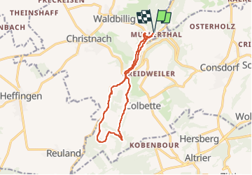
Randonnée Marche de 11,7 km à découvrir à Inconnu, Canton Echternach, Waldbillig. Cette randonnée est proposée par pierreh01.
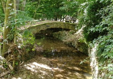
Mercredi 25 mai 2022 : Découverte de la Petite Suisse luxembourgeoise
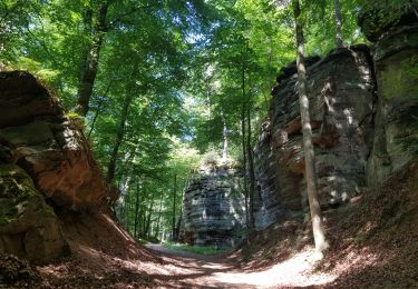
C'est sous un très beau soleil que nous avons découvert une autre balade dans la région de Müllerthal.
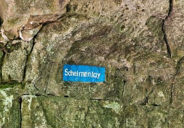
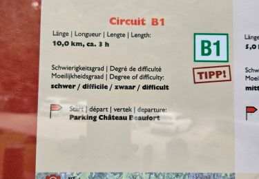
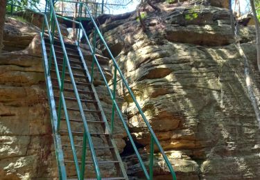
Circuit en boucle, balisé Sentier local - W7, au départ de Müllerthal, légèrement agrandi et avec la boucle sud en sens inverse (le long de l'Ernz noire et le Gluedbaach) en suivant un tracé GPX enregistré, ce qui nous a permis de descendre des escaliers vers l'étang et la cascade au lieu de les monter.


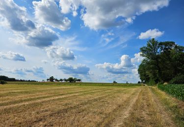
42 photos au total. Cliquez sur une photo pour les afficher toutes dans la galerie.
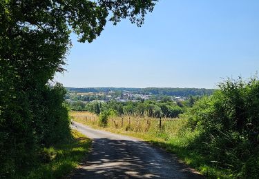
Marche
Marche
Marche
Marche
Marche
Marche
Marche
Marche

Marche