


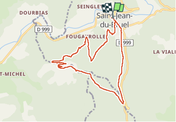

15,3 km | 23 km-effort

Utilisateur


Application GPS de randonnée GRATUITE
 SityTrail
IGN / Instituts géographiques
SityTrail World
Le monde est à vous
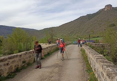
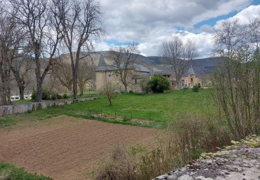
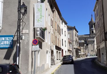
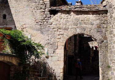
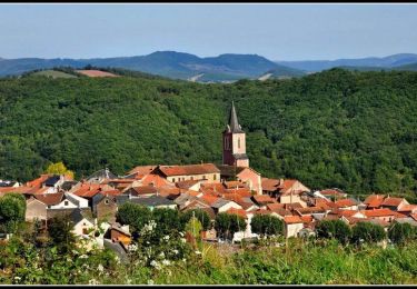
Randonnée Marche de 10,3 km à découvrir à Occitanie, Aveyron, Saint-Jean-du-Bruel. Cette randonnée est proposée par Georgesferrier.
Belle rando beaux sentier et points de vue


Marche
Marche


Course à pied

Marche
Marche
Vélo