


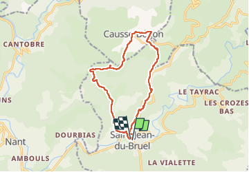


15,3 km | 23 km-effort

Utilisateur


Application GPS de randonnée GRATUITE
 SityTrail
IGN / Instituts géographiques
SityTrail World
Le monde est à vous
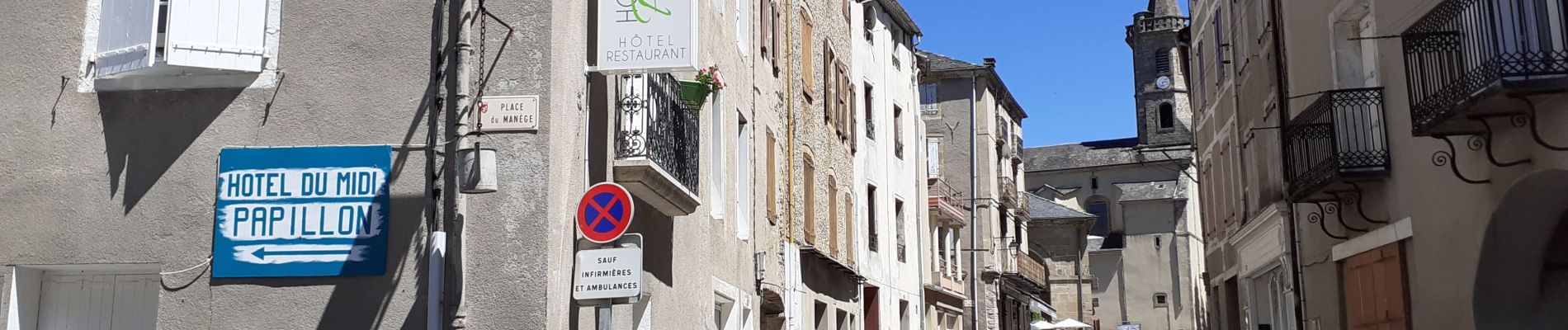
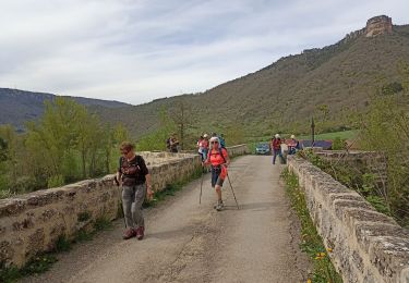
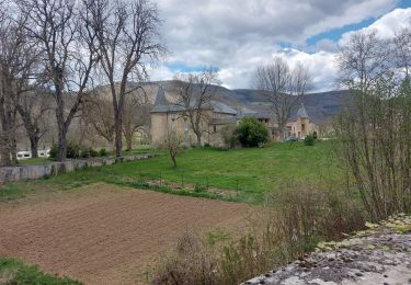
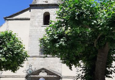
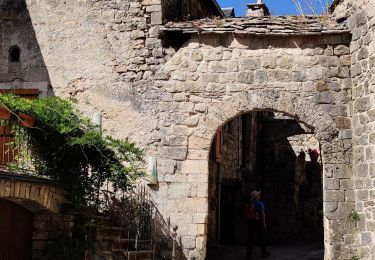
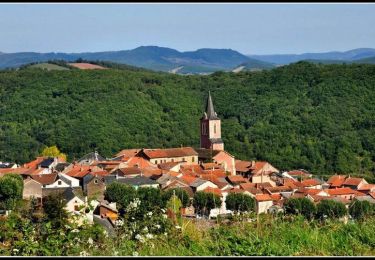
Randonnée Marche de 13,9 km à découvrir à Occitanie, Aveyron, Saint-Jean-du-Bruel. Cette randonnée est proposée par Georgesferrier.
Très belle rando de magnifiques paysages très jolis sentiers bien balises


35 photos au total. Cliquez sur une photo pour les afficher toutes dans la galerie.
Marche
Marche


Course à pied

Marche
Marche
Vélo