


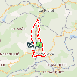

13,5 km | 18,7 km-effort


Utilisateur


Application GPS de randonnée GRATUITE
 SityTrail
IGN / Instituts géographiques
SityTrail World
Le monde est à vous
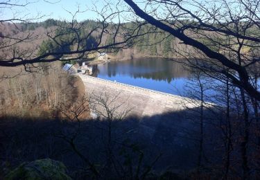
Randonnée Marche de 10,3 km à découvrir à Occitanie, Tarn, Pont-de-l'Arn. Cette randonnée est proposée par miqueljp.

Marche
Marche
Marche
Marche
Marche

Vélo
Course à pied

Marche
V.T.T.
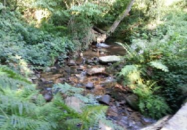
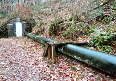
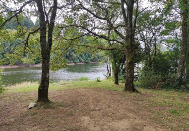
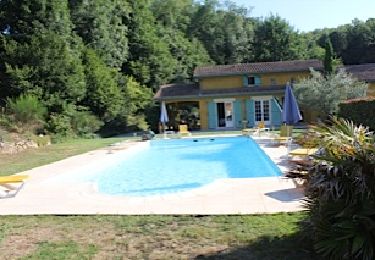
Très belle randonnée sans difficulté et entièrement ombragée. Du vrai bonheur en ce 14/08/2016 où il fait 27°. Merci.