Trail Walking Pont-de-Larn - Sagnecroze Vintrou Betges - Photo

Sagnecroze Vintrou Betges

 miqueljp
miqueljp

User

© OpenStreetMap contributors
Length
Length
10.3 km
Max alt
Max alt
703 m
Uphill gradient
Uphill gradient
266 m
Km-Effort
Km-Effort  
13.8 km
Min alt
Min alt
507 m
Downhill gradient
Downhill gradient
263 m
Boucle
Boucle
Yes
Creation date :
2014-12-10 00:00:00.0
Updated on :
2014-12-10 00:00:00.0

(1 Reviews)

Walking
Walking
2h45
Difficulty : Medium

Scan this QR Code to open this trail in the SityTrail application

FREE GPS app for hiking

Logo SityTrail SityTrail

IGN / Geographical institutes

Download SityTrail from the App Store Download SityTrail from Google Play

Logo SityTrail SityTrail World

The world is yours!

Download SityTrail from the App Store Download SityTrail from Google Play Download SityTrail on Huawei AppGallery

About

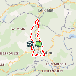
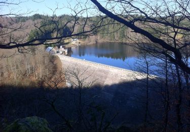
Trail Walking of 10.3 km to be discovered at Occitania, Tarn, Pont-de-Larn. This trail is proposed by miqueljp.

Elevation profile

Positioning

Country:
France
Region :
Occitania
Department/Province :
Tarn
Municipality :
Pont-de-Larn
Location:
Unknown
Start:(UTM)
455519 ; 4819510 (31T) N.

Comments

Please log in to post a review or rate the element


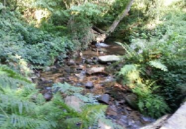
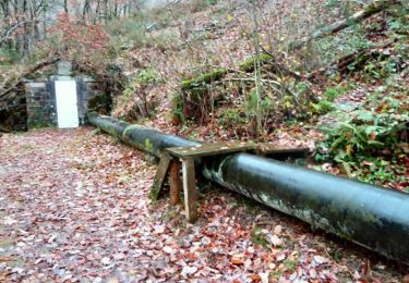
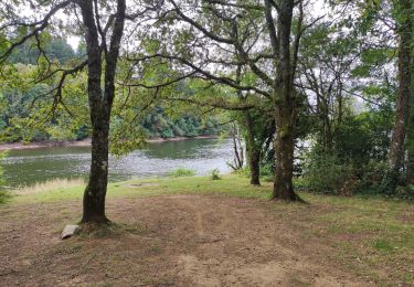
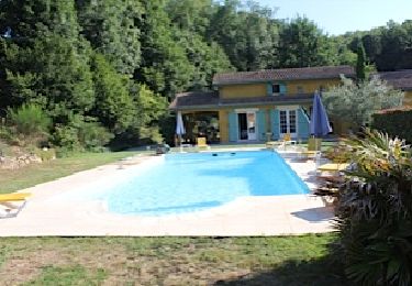
Très belle randonnée sans difficulté et entièrement ombragée. Du vrai bonheur en ce 14/08/2016 où il fait 27°. Merci.


Trails nearby

Trail Walking Le Vintrou - la Fontaine d'Artigues - Photo
Walking
Pierre11

Walking

Easy
Le Vintrou, Occitania, Tarn, France
13.5 km | 18.7 km-effort
4h 4min
Yes
Trail Walking Pont-de-Larn - saint baudille - Photo
Walking
ablatge

Walking

Medium
Pont-de-Larn, Occitania, Tarn, France
6.8 km | 8.7 km-effort
1h 50min
Yes
Trail Walking Pont-de-Larn - Les gorges du Banquet - Pont de l'Arn - Photo
Walking
tracegps

Walking

Medium
Pont-de-Larn, Occitania, Tarn, France
18.2 km | 27 km-effort
6h 0min
Yes
Trail Walking Pont-de-Larn - les hauts de la môle variante - Photo
Walking
cappelle

Walking

Medium
Pont-de-Larn, Occitania, Tarn, France
12.1 km | 15.3 km-effort
3h 29min
Yes
Trail Walking Le Vintrou - gorges du banquet lac St peyres  - Photo
Walking

Walking

Medium
Le Vintrou, Occitania, Tarn, France
14.6 km | 22 km-effort
6h 51min
Yes
Trail Cycle Mazamet - Mazamet  Pic de Nore  Mazamet - Photo
Cycle
jpbearnais

Cycle

Medium
Mazamet, Occitania, Tarn, France
46 km | 61 km-effort
3h 4min
Yes
Trail Running Le Vintrou - Lou Camin du Lac des St Peyres aux gorges du Banquet - Photo
Running
tracegps

Running

Difficult
Le Vintrou, Occitania, Tarn, France
19.3 km | 27 km-effort
2h 30min
Yes
Trail Walking Le Vintrou - Lou Camin du Lac des St Peyres aux gorges du Banquet - Photo
Walking
tracegps

Walking

Difficult
Le Vintrou, Occitania, Tarn, France
19.3 km | 27 km-effort
4h 30min
Yes
Trail Mountain bike Saint-Amans-Valtoret - 2010-08-09 - 12h12m24 - Photo
Mountain bike
macleon

Mountain bike

Very easy
Saint-Amans-Valtoret, Occitania, Tarn, France
38 km | 51 km-effort
Unknown
Yes


Close
My subscriptions