


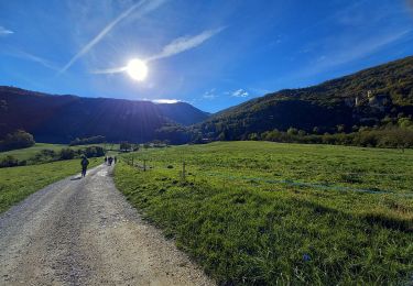
12,3 km | 19 km-effort


Utilisateur


Application GPS de randonnée GRATUITE
 SityTrail
IGN / Instituts géographiques
SityTrail World
Le monde est à vous
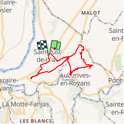
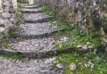
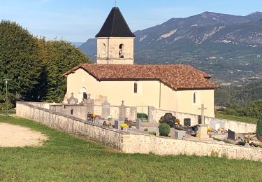
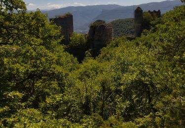
Randonnée Marche de 13,6 km à découvrir à Auvergne-Rhône-Alpes, Isère, Saint-Just-de-Claix. Cette randonnée est proposée par psesjs.
Marche
Marche
Marche nordique
Marche
Marche
Marche
Marche
Marche
Marche
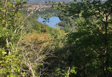
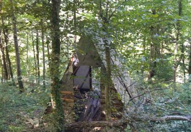
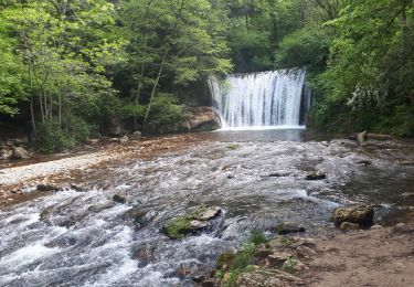
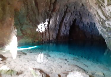
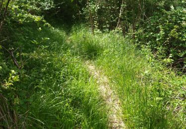
Balade nouvelle, qui suit une jolie rivière.