


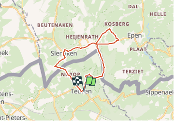

9,5 km | 12 km-effort

Utilisateur GUIDE


Application GPS de randonnée GRATUITE
 SityTrail
IGN / Instituts géographiques
SityTrail World
Le monde est à vous
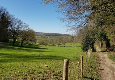
Randonnée Marche de 11,7 km à découvrir à Flandre, Limbourg, Fourons. Cette randonnée est proposée par mumu.larandonneuse.
Combiner rando & passage des coureurs cyclistes.
🚲 Amstel Gold Race 2024 🚲
Côte 9 - 101 km - Schweiberg
Côte 14 - 135 km - Eperheide
Côte 25 - 203 km - Loorberg - Slenaken


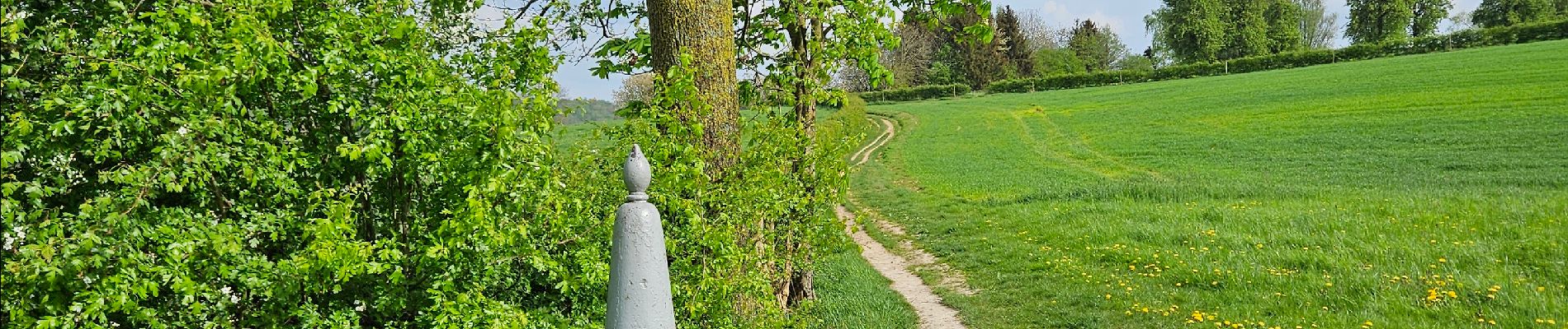
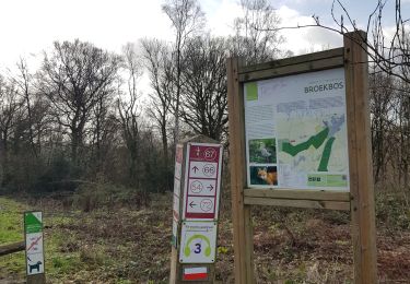
Marche
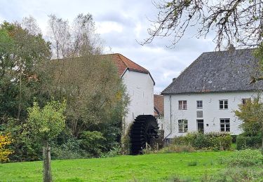
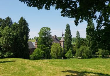
Marche
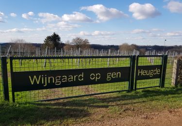
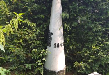
Marche
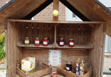
Marche
Marche
Marche
Marche
Marche
Marche
Parcours et timing parfait !