


18,4 km | 26 km-effort


Utilisateur


Application GPS de randonnée GRATUITE
 SityTrail
IGN / Instituts géographiques
SityTrail World
Le monde est à vous
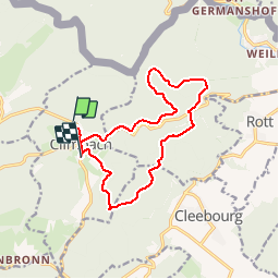
Randonnée Autre activité de 13,6 km à découvrir à Grand Est, Bas-Rhin, Climbach. Cette randonnée est proposée par Dutyrider.
la pluvieuse.


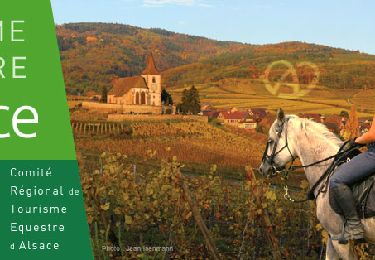
Randonnée équestre

V.T.T.
A pied
A pied
A pied

A pied