


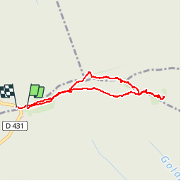


3,7 km | 5,9 km-effort

Utilisateur


Application GPS de randonnée GRATUITE
 SityTrail
IGN / Instituts géographiques
SityTrail World
Le monde est à vous
Randonnée Marche de 3,6 km à découvrir à Grand Est, Haut-Rhin, Soultz-Haut-Rhin. Cette randonnée est proposée par VacheKiri67.
Faite le 17/05/2015 avec notre fils de 10 ans. Nous l'avons ensuite couplée avec un second tour en empruntant l'anneau bleu.


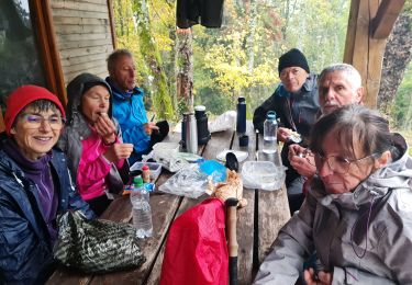
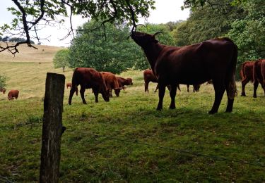
24 photos au total. Cliquez sur une photo pour les afficher toutes dans la galerie.

Marche

Autre activité

A pied

Trail

A pied

Marche

Marche
Marche
Marche
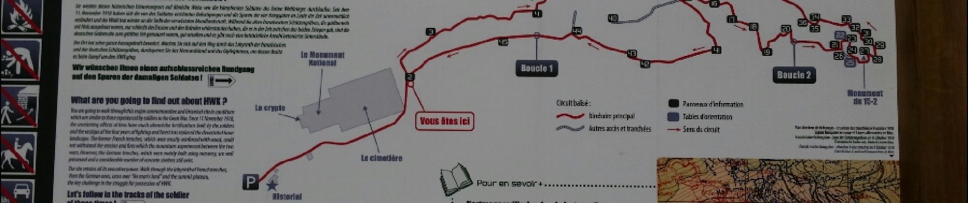
Parcours de mémoire très instructif.