


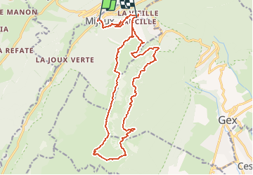

14,5 km | 20 km-effort

Utilisateur


Application GPS de randonnée GRATUITE
 SityTrail
IGN / Instituts géographiques
SityTrail World
Le monde est à vous
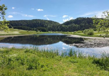
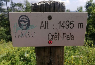
Randonnée Marche de 22 km à découvrir à Auvergne-Rhône-Alpes, Ain, Mijoux. Cette randonnée est proposée par cmike39.
Rando groupe TMB 20150825


Marche

Vélo

Course à pied

Marche
Cyclotourisme
Marche
Marche
Marche
Raquettes à neige