


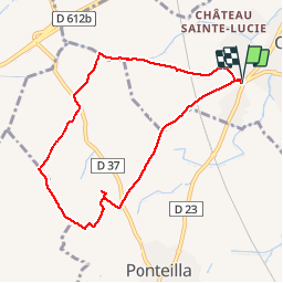

15 km | 18,2 km-effort

Utilisateur


Application GPS de randonnée GRATUITE
 SityTrail
IGN / Instituts géographiques
SityTrail World
Le monde est à vous
Randonnée Marche de 8,3 km à découvrir à Occitanie, Pyrénées-Orientales, Canohès. Cette randonnée est proposée par jeff66.
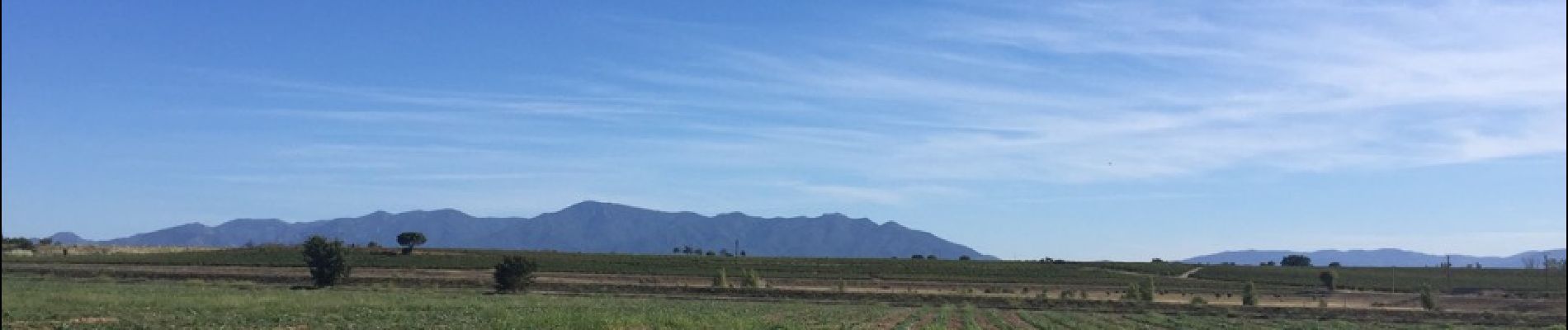
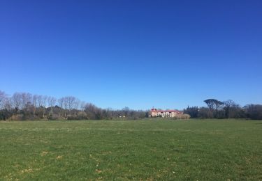
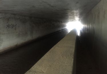
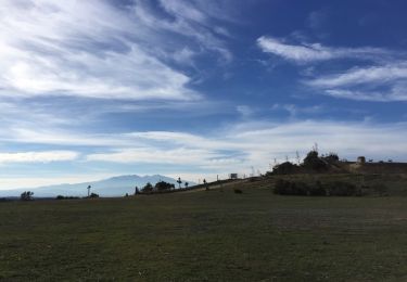
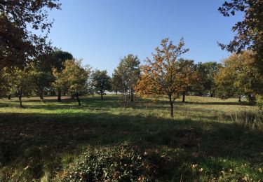
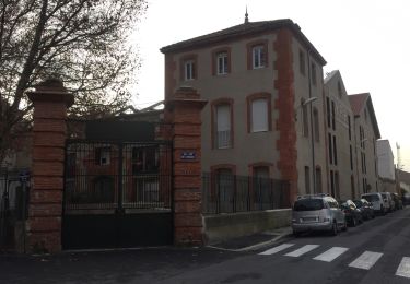
66 CANOHES - parking a la sortie du village s'a proximité de la RD23, prendre piste cyclable, qui enjambe la ligne LGV, panorama sur les Albères , le Canigou, força réal - camp Del Roure - mas saint Nicolas - les deus Animaides - els Sivres petit - els Sivres - la vigne Del REY - El Jaçal - élevage canin - emprunter la RD37, mas Manrèse - Vnyer Del SOLER - mas d'en Gallina - canal de Perpignan - les jardins d'Albert


Marche

V.T.T.

Marche

Marche
Marche
Marche
Marche
Marche
Marche