


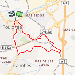

6,7 km | 7,5 km-effort


Utilisateur


Application GPS de randonnée GRATUITE
 SityTrail
IGN / Instituts géographiques
SityTrail World
Le monde est à vous
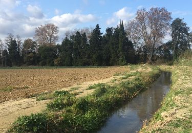
Randonnée Marche de 8 km à découvrir à Occitanie, Pyrénées-Orientales, Toulouges. Cette randonnée est proposée par jeff66.
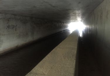
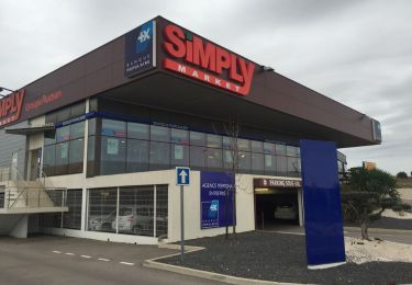
66 TOULOUGES - CANOHES piste cyclable itinéraire partagé, Naturopole, passage sous la RD612a, rond point de la Sanya - CANOHES, av. des Massaguères, complexe sportif ASPTT, canal de Perpignan, La Solane, mas Gaffard, les carlettes - les Pavillons - mas coma Serra - mas Aulas - TOULOUGES,longer la RD612a, et les Passeres Roges, Intermarché. Clairfont - collège F. Mitterand, allée de Tarragone, rue de Gerone, ch. de las palan as. Rue Fr. Garcia Lorca, chemin des Roures


Marche

V.T.T.

Marche

Marche
Marche
Marche
Marche
Marche
Marche