Randonnée Marche Bouteville - Bouteville (16120) - Photo
 dorcier
dorcier

Utilisateur

© OpenStreetMap contributors
Longueur
Longueur
14,5 km
Altitude max
Altitude max
157 m
Dénivelé positif
Dénivelé positif
236 m
Km-Effort
Km-Effort  
17,6 km
Altitude min
Altitude min
51 m
Dénivelé négatif
Dénivelé négatif
236 m
Boucle
Boucle
Oui
Date de création :
2018-04-16 21:31:47.895
Dernière modification :
2018-04-16 21:31:47.895

(0 Avis)

Marche
Marche
3h49
Difficulté : Facile

Scannez ce code QR pour ouvrir la randonnée dans l'application SityTrail

Application GPS de randonnée GRATUITE

Logo SityTrail SityTrail

IGN / Instituts géographiques

Télécharger SityTrail sur l'App Store Télécharger SityTrail sur Google Play

Logo SityTrail SityTrail World

Le monde est à vous

Télécharger SityTrail sur l'App Store Télécharger SityTrail sur Google Play Télécharger SityTrail sur Huawei AppGallery

À propos

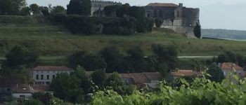
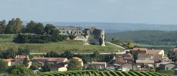
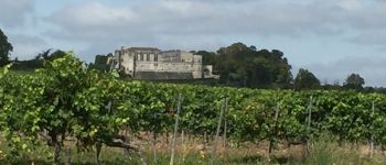
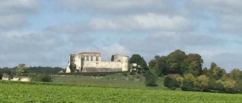
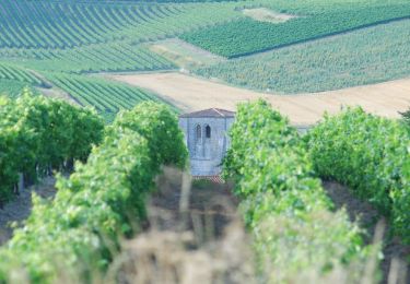
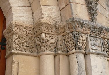
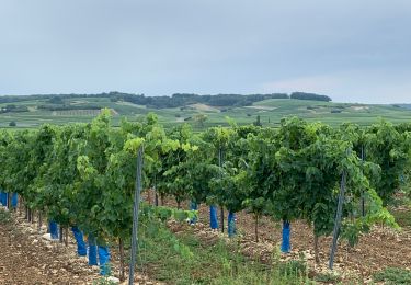
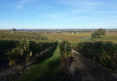
Randonnée Marche de 14,5 km à découvrir à Nouvelle-Aquitaine, Charente, Bouteville. Cette randonnée est proposée par dorcier.

Description

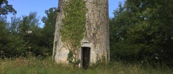
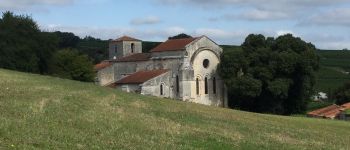
fusion de 2 boucles proposées au départ de la place du château de Bouteville. le circuit du moulin fléché en jaune et le circuit des belles vues fléché en rouge.
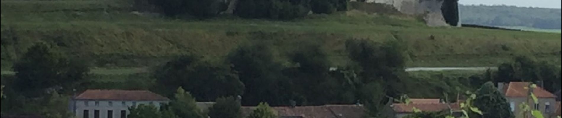
Attention fléchage aléatoire, se minir de la carte.
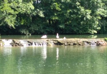
Profil altimétrique

Photos

Points d'intérêt

Point d'intérêt Saint-Preuil - Point 1 - Photo
dorcier
SAINT-PREUIL 
Point d'intérêt Bouteville - Point 4 - Photo
dorcier
BOUTEVILLE 
Point d'intérêt Bouteville - Point 5 - Photo
dorcier
BOUTEVILLE 
Point d'intérêt Bouteville - Point 6 - Photo
dorcier
BOUTEVILLE 
Point d'intérêt Bouteville - Point 7 - Photo
dorcier
BOUTEVILLE 
Point d'intérêt Bouteville - Point 8 - Photo
dorcier
BOUTEVILLE 
Point d'intérêt Bouteville - Point 9 - Photo
dorcier
BOUTEVILLE 
Point d'intérêt Bouteville - Point 10 - Photo
dorcier
BOUTEVILLE 
Point d'intérêt Bouteville - aire picnic - Photo
dorcier
BOUTEVILLE 

Localisation

Pays :
France
Région :
Nouvelle-Aquitaine
Département/Province :
Charente
Commune :
Bouteville
Localité :
Unknown
Départ:(Dec)
Départ:(UTM)
723441 ; 5053528 (30T) N.

Randonnées à proximité

Randonnée Moteur Saint-Preuil - Découvrez la Grande Champagne hors des sentiers battus - Photo
Moteur
Relais-Saint-Preuil

Moteur

Moyen
(3)
Saint-Preuil, Nouvelle-Aquitaine, Charente, France
53 km | 63 km-effort
2h 40min
Oui
Randonnée A pied Bellevigne - Chemin Boisné - Photo
A pied
PRO

A pied

Facile
Bellevigne, Nouvelle-Aquitaine, Charente, France
15,6 km | 17 km-effort
3h 51min
Non
Randonnée Marche Bouteville - Bouteville : Sentier des Chaumes Boissieres - Photo
Marche
alfreson

Marche

Bouteville, Nouvelle-Aquitaine, Charente, France
7,7 km | 9,1 km-effort
1h 53min
Oui
Randonnée Marche Saint-Preuil - Circuit des fontaines et des lavoirs - Variante balisage Violet - Photo
Marche
neoroll44

Marche

Moyen
Saint-Preuil, Nouvelle-Aquitaine, Charente, France
12,8 km | 15,5 km-effort
3h 30min
Oui
Randonnée Marche Graves-Saint-Amant - Graves St Amand 14-07-2016 - Photo
Marche
jmrobin

Marche

Facile
Graves-Saint-Amant, Nouvelle-Aquitaine, Charente, France
14,6 km | 16,6 km-effort
3h 17min
Oui
Randonnée Marche nordique Lignières-Sonneville - Lignières Sonneville - Photo
Marche nordique
JACQUOU

Marche nordique

Facile
Lignières-Sonneville, Nouvelle-Aquitaine, Charente, France
14,4 km | 17,7 km-effort
3h 17min
Oui
Randonnée Marche Mainxe-Gondeville - mainxe - Photo
Marche
sy!

Marche

Très facile
Mainxe-Gondeville, Nouvelle-Aquitaine, Charente, France
12,5 km | 14 km-effort
2h 50min
Oui
Randonnée Marche Angeac-Charente - les indiens  - Photo
Marche
lancelisio

Marche

Très facile
Angeac-Charente, Nouvelle-Aquitaine, Charente, France
4,9 km | 5,6 km-effort
1h 33min
Oui
Randonnée Marche Saint-Preuil - Saint prémilitaire - Photo
Marche
poule16

Marche

Saint-Preuil, Nouvelle-Aquitaine, Charente, France
9,2 km | 11,1 km-effort
2h 36min
Oui


Fermer
Mes abonnements