


12,5 km | 14,4 km-effort


Utilisateur


Application GPS de randonnée GRATUITE
 SityTrail
IGN / Instituts géographiques
SityTrail World
Le monde est à vous
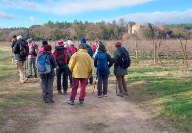
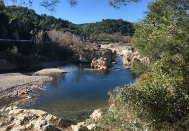
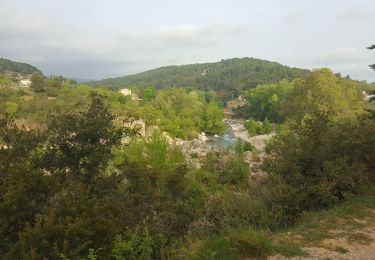
Randonnée Marche de 5 km à découvrir à Occitanie, Hérault, Cessenon-sur-Orb. Cette randonnée est proposée par Pierre11.
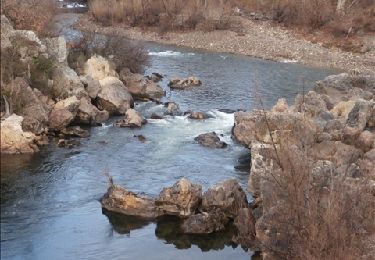
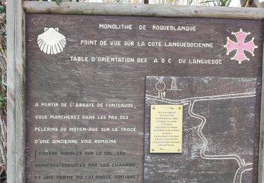
L'étape 3 du chemin de Fontcaude de Cessenon à Capestang peut être raccourcie par une variante non balisée empruntant la route du Verdier (repère 24) et récupérant l'itinéraire au ruisseau de Rhonel (repère 27 du topoguide FFRP réf 3400). Ce tracé évite de passer à Cazedarnes
Gain 3 km
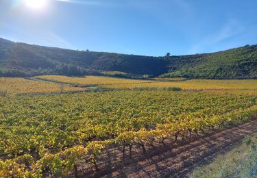
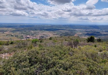
Marche
Marche
Marche
Marche

Marche

Marche
Marche
Marche