


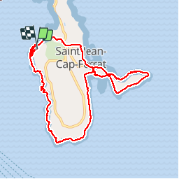


7,9 km | 10,3 km-effort

Utilisateur


Application GPS de randonnée GRATUITE
 SityTrail
IGN / Instituts géographiques
SityTrail World
Le monde est à vous
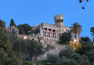
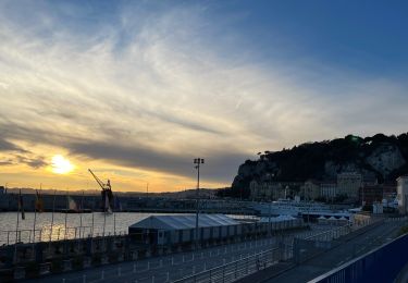
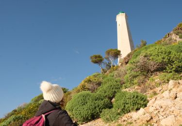
Randonnée Marche de 10,9 km à découvrir à Provence-Alpes-Côte d'Azur, Alpes-Maritimes, Saint-Jean-Cap-Ferrat. Cette randonnée est proposée par Cricounet84.


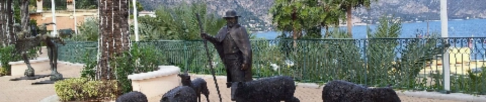
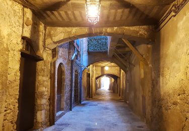
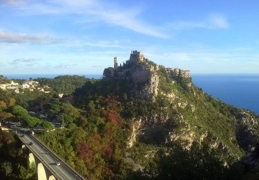
51 photos au total. Cliquez sur une photo pour les afficher toutes dans la galerie.
Marche
A pied

Marche
Marche

Marche
Marche
Marche
Marche
Marche
La plus belle balade en bord de mer de la côte d'Azur proche de Nice ????????