


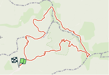


19,9 km | 34 km-effort

Utilisateur


Application GPS de randonnée GRATUITE
 SityTrail
IGN / Instituts géographiques
SityTrail World
Le monde est à vous
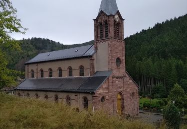
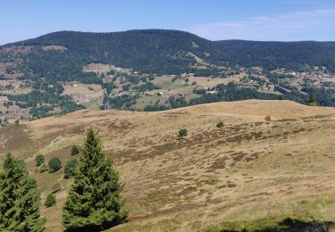
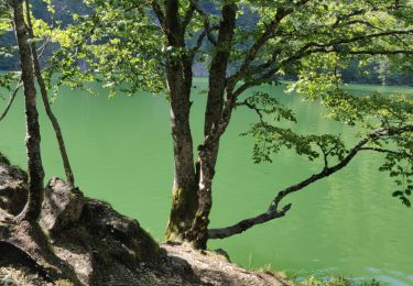
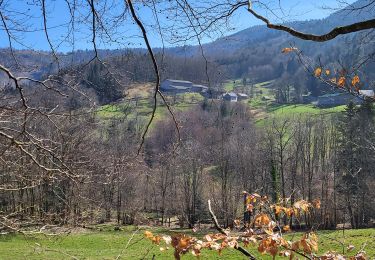
Randonnée Marche de 13,7 km à découvrir à Grand Est, Haut-Rhin, Wegscheid. Cette randonnée est proposée par margotte.
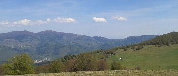
super parcours printanier. Nouveau sentier balisé en triangle bleu depuis le Belacker pour le retour en boucle(ce sentier n'existait pas sur ma carte).


Marche
Marche

Marche

Marche
Marche
Marche

Marche

Marche
Marche