


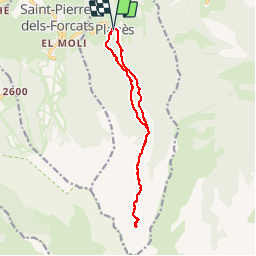


24 km | 43 km-effort

Utilisateur


Application GPS de randonnée GRATUITE
 SityTrail
IGN / Instituts géographiques
SityTrail World
Le monde est à vous
Randonnée Marche de 14,5 km à découvrir à Occitanie, Pyrénées-Orientales, Planès. Cette randonnée est proposée par MarieFrancoise.
Départ de Planès. monter jusqu à l.orri puis continuer vers l étang puis monter jusqu'à la Conca.
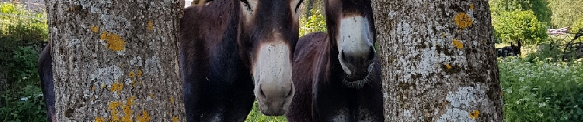
très belle rando


26 photos au total. Cliquez sur une photo pour les afficher toutes dans la galerie.

Marche

Marche

Marche

Marche

Marche

Marche

Marche
Marche
Marche