


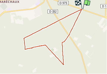


9.6 km | 12.8 km-effort
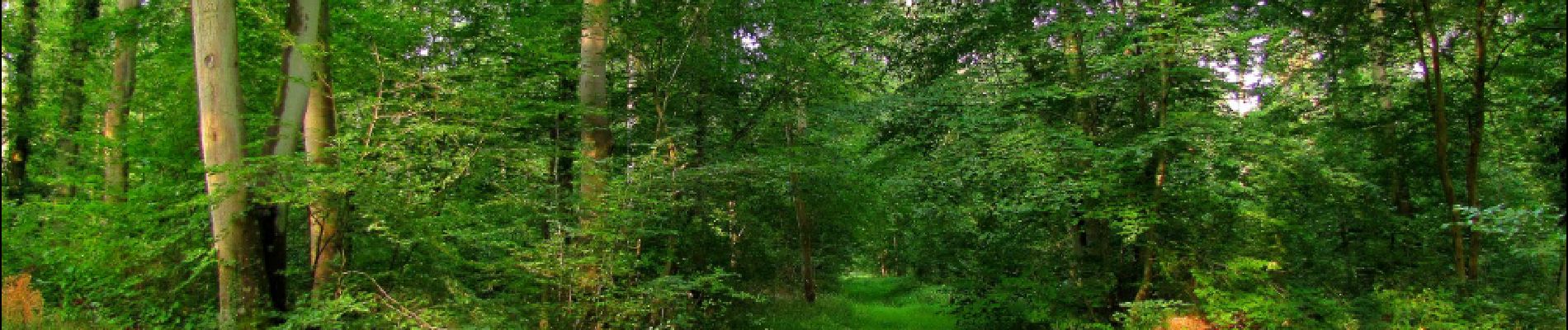

mes randos en forêt


FREE GPS app for hiking
 SityTrail
IGN / Geographical institutes
SityTrail World
The world is yours!
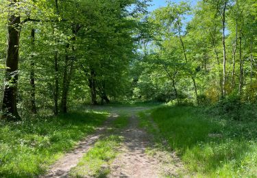
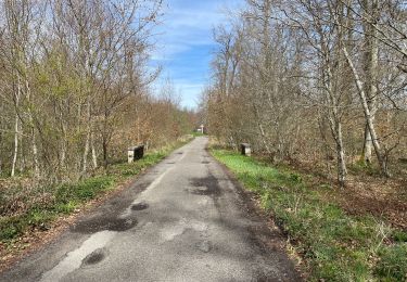
Trail Walking of 8.2 km to be discovered at Hauts-de-France, Oise, Compiègne. This trail is proposed by en forêt de Compiègne.
07/ 2018
voir aussi mon blog: http://foret-de-compiegne.over-blog.com/
rando balayette : 3 carrefours à voir, oubliés lors des autres randos et pour lesquels rien de prévu à part de finir les 311 carrefours nommés de la forêt de Compiègne.
rando (ballade) facile.
Au départ du carrefour de la Tilloye (et d'un), suivre la Route de la Tilloye puis la Route du Grand Octogone jusqu'au carrefour avec la Route du Marché Dupuis. Prendre à gauche et continuer jusqu'au carrefour de Bretagne (et de deux). Tourner à gauche dans la Route de la Reine jusqu'au carrefour de la Petite Patte d'Oie. Tourner à droite dans la Route des Amazones. Continuer jusqu'au carrefour des Rossignols (et de trois). Suivre à gauche le GR655 jusqu'au carrefour avec la Route de la Reine. Tourner à droite dans la Route de la Reine puis à gauche dans la Route de la Forte Haie. La suivre jusqu'au point de départ (carrefour de la Tilloye).


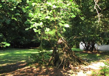
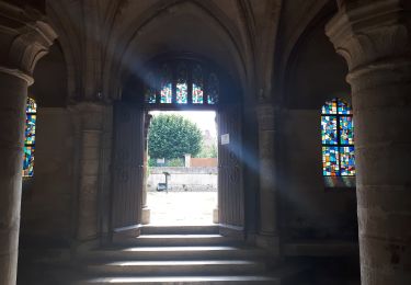
49 photos in total. Please click on a photo to see them all in the gallery.
Walking
On foot

Walking
Walking
Walking

Walking

Walking

Walking
On foot