


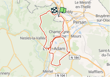

43 km | 49 km-effort


User


FREE GPS app for hiking
 SityTrail
IGN / Geographical institutes
SityTrail World
The world is yours!
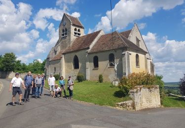
Trail Mountain bike of 33 km to be discovered at Hauts-de-France, Oise, Chambly. This trail is proposed by tracegps.
Une boucle qui permet de rouler pratiquement toute l'année dessus sauf peut être les quais de l'Oise mais une petite route longe exactement la même trace. La fin se fait sur une petite route départementale très peu frequentée. Une fois les lieux mémorisés, il y a plein de moyen de l'allonger ou bien de la raccourcir.
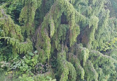
Mountain bike

Walking
Walking
Walking

Walking
Walking
Walking
Walking
Walking