


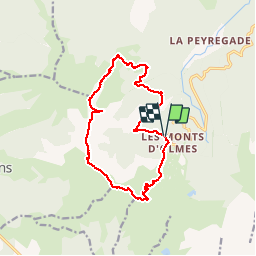

15.3 km | 31 km-effort

User


FREE GPS app for hiking
 SityTrail
IGN / Geographical institutes
SityTrail World
The world is yours!
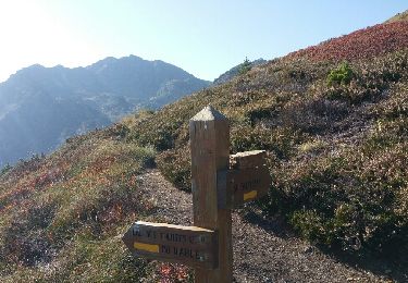
Trail Walking of 15.3 km to be discovered at Occitania, Ariège, Montferrier. This trail is proposed by jopost.
Boucle sympa mais très difficile au départ, rue des Myrtilles puis rejoindre la piste après le ruisseau mais cette piste est une vrai forêt vierge car la végétation a poussé sur toute la piste.
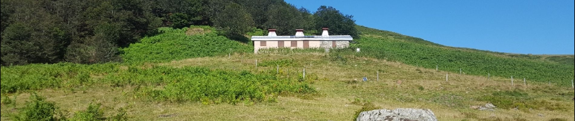
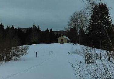
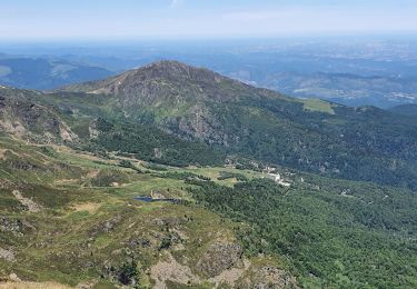
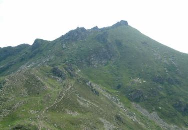
Après 3h et 5km vous arrivez au refuge du Coulobre, direction le Mont Fourcat 2001m, après 1h45. Petit détour vers les Terbèzes 1973m puis arrivée au sommet de L'Estagnole 1934m après 1h15. maintenant direction le Pic du Han 2074m après 1h45 mettre les mains sur les rochers puis descente vers le Col de Cadène 15mn 1952m et enfin redescendre vers la station 1429m en moins d'une heure.


Walking

Walking

Walking
Snowshoes

Walking
Walking
Walking
Walking
Walking