


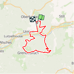


14.9 km | 21 km-effort

User


FREE GPS app for hiking
 SityTrail
IGN / Geographical institutes
SityTrail World
The world is yours!
Trail Mountain bike of 26 km to be discovered at Grand Est, Bas-Rhin, Niederhaslach. This trail is proposed by tracegps.
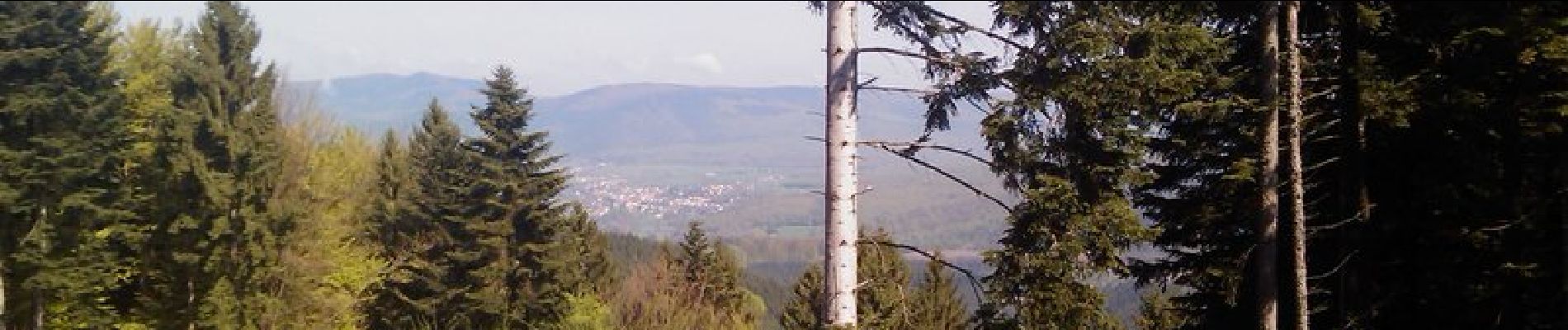
Une sortie sympa donnant sur divers points de vue. Il s'agit d'un circuit permettant de passer par le Château de Guirbaden et permettant de rejoindre le village de GRENDELBRUCH pour rejoindre à nouveau NIEDERHASALCH.

Walking

Horseback riding

Mountain bike
Horseback riding
Horseback riding
Horseback riding
Equestrian
Walking
Horseback riding