


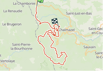

27 km | 38 km-effort


User


FREE GPS app for hiking
 SityTrail
IGN / Geographical institutes
SityTrail World
The world is yours!
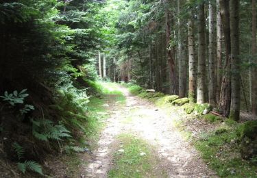
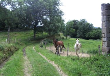
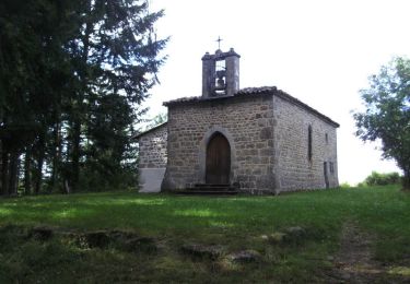
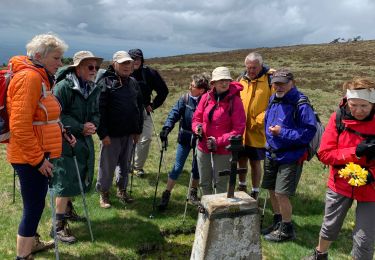
Trail Equestrian of 47 km to be discovered at Auvergne-Rhône-Alpes, Loire, La Chambonie. This trail is proposed by azipat.
25 09 2018
J1 loge bEAL

Equestrian
Equestrian
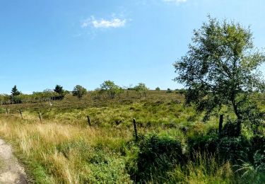
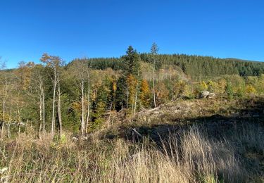
Walking
Walking
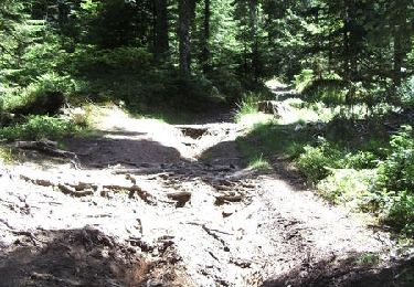
Mountain bike
Mountain bike
Mountain bike
Mountain bike
Walking