


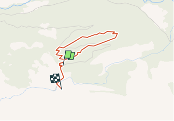


9.6 km | 17.9 km-effort


User


FREE GPS app for hiking
 SityTrail
IGN / Geographical institutes
SityTrail World
The world is yours!
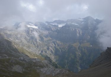
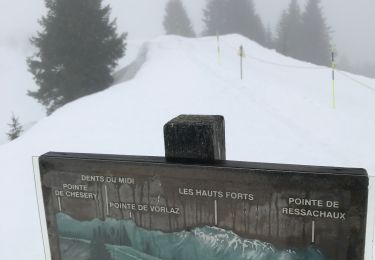
Trail Walking of 3 km to be discovered at Valais/Wallis, Monthey, Champéry. This trail is proposed by otchampery.
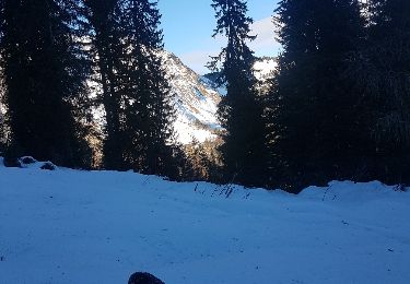
Le sentier forestier, läd sie zu einem Spaziergang im Wald von Barme ein. Auf dem Weg durchleben sie erneut den Orkan von 1962. Ausserdem werden sie das Holz und seine Feinde kennenlernen und erfahren welche Rolle der Bergwald für unsere Umwelt spielt.

Walking
On foot

Walking
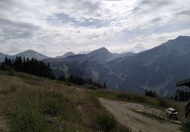
Walking
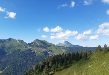
Walking
On foot
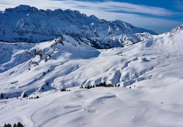
Snowshoes
Walking
Walking