


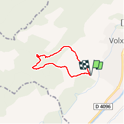


16.2 km | 24 km-effort


User


FREE GPS app for hiking
 SityTrail
IGN / Geographical institutes
SityTrail World
The world is yours!
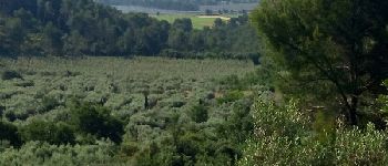
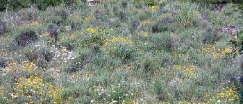
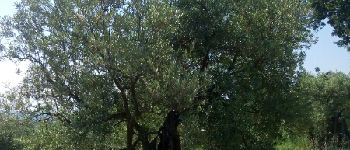
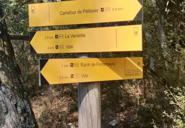
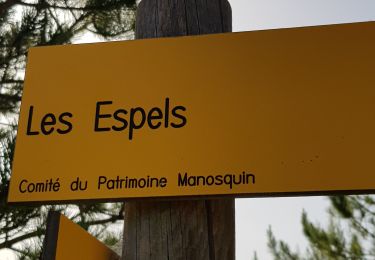
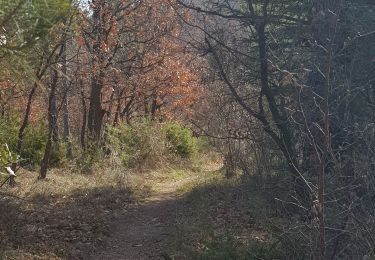
Trail Walking of 4.9 km to be discovered at Provence-Alpes-Côte d'Azur, Alpes-de-Haute-Provence, Volx. This trail is proposed by liocol.
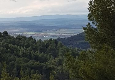
Randonnée de 2 petites heures, avec de belles vues sur la vallée de la Durance. Ça monte bien.


Mountain bike

Walking
Walking
Walking
Trail
Walking
Walking
Walking

Walking