


3,6 km | 5,2 km-effort

Utilisateur


Application GPS de randonnée GRATUITE
 SityTrail
IGN / Instituts géographiques
SityTrail World
Le monde est à vous
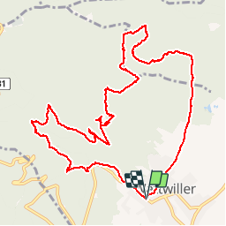
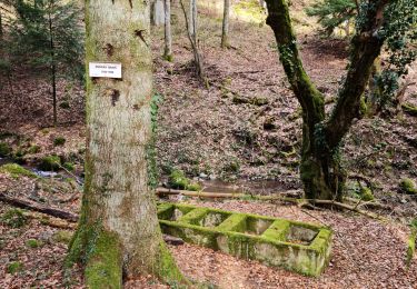
Randonnée Marche de 12,8 km à découvrir à Grand Est, Haut-Rhin, Wattwiller. Cette randonnée est proposée par Richard68500.
belle petite rando
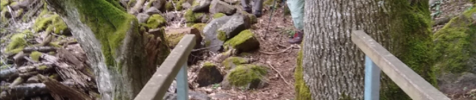
 - Photo 1")
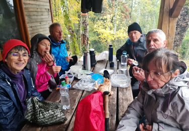
 - Photo 2")
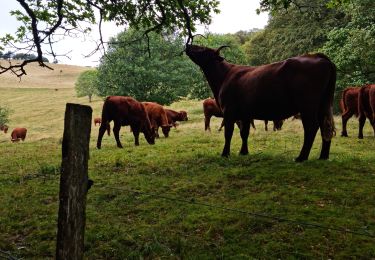
 - Photo 3")

Marche

Marche

Autre activité

Trail

Marche
Marche
Marche

Marche
Marche