


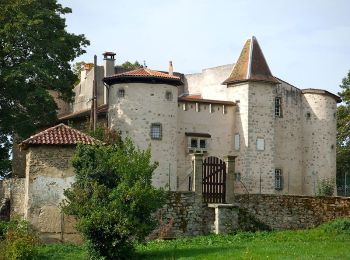
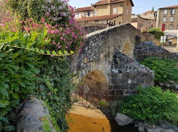
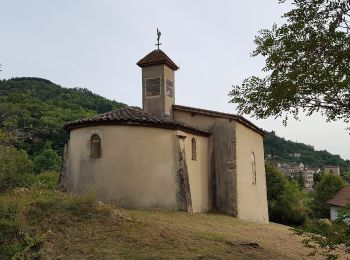
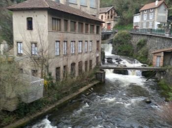
11,4 km | 18,3 km-effort
Thiers: Ontdek de beste tochten: 5 te voet en 36 stappen. Al deze tochten, trajecten, routes en outdoor activiteiten zijn beschikbaar in onze SityTrail-apps voor smartphones en tablets.

Stappen


Stappen

Te voet
• Trail created by CD63.
Te voet
• Trail created by CD63.
Te voet
• Trail created by CD63.

Stappen

Stappen

Stappen
Stappen
• Inspiré du guide Conseil général 63
Te voet

Te voet
• Trail created by CD63.
Stappen
Stappen
• 2émé Étape THIERS-COURPIERE
Stappen

Stappen

Stappen
Stappen
Stappen
• très beaux points de vues sur les volcans
Stappen
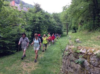
• 13 marcheurs
Stappen
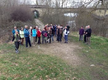
• 22 marcheurs
20 tochten weergegeven op 41
Gratisgps-wandelapplicatie
 SityTrail
IGN / Geografische instituten
SityTrail World
De wereld gaat voor u open