


11,4 km | 18,3 km-effort
Thiers: Descubra las mejores excursiones: 5 a pie y 36 senderismo. Todos estos circuitos, recorridos, itinerarios y actividades al aire libre están disponibles en nuestras aplicaciones SityTrail para smartphone y tablet.
Senderismo


Senderismo

A pie
• Trail created by CD63.
A pie
• Trail created by CD63.
A pie
• Trail created by CD63.

Senderismo
Senderismo
Senderismo
Senderismo
• Inspiré du guide Conseil général 63
A pie

A pie
• Trail created by CD63.
Senderismo
Senderismo
• 2émé Étape THIERS-COURPIERE
Senderismo

Senderismo
Senderismo
Senderismo
Senderismo
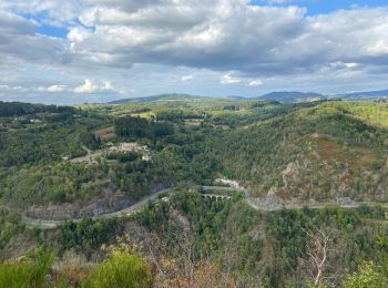
• très beaux points de vues sur les volcans
Senderismo
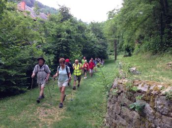
• 13 marcheurs
Senderismo
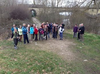
• 22 marcheurs
20 excursiones mostradas en 41
Aplicación GPS de excursión GRATIS
 SityTrail
IGN / Institutos geográficos
SityTrail World
El mundo es suyo