


11,6 km | 15,6 km-effort
Vielsalm: Ontdek de beste tochten: 325 te voet, 49 met de fiets of mountainbike en 43 te paard. Al deze tochten, trajecten, routes en outdoor activiteiten zijn beschikbaar in onze SityTrail-apps voor smartphones en tablets.
Stappen


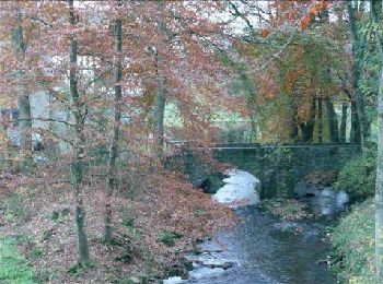
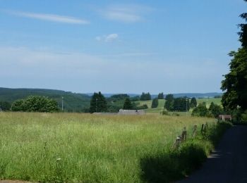
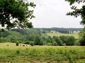
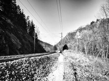
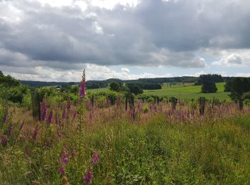
• Vielsalm possède des paysages magnifiques et une nature variée : les fagnes du plateau des Tailles, le Grand Bois de ...
Stappen
Stappen
Stappen
Stappen
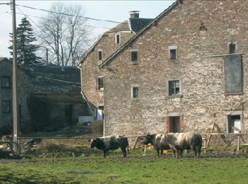
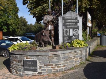
• Bèche, Cierreux, Rogery, Grand Bois de Bovigny, BècheCartographie et documentation :Cartes IGN au 1 : 20 000, 56/1-2 ...
Stappen
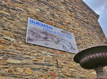
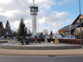
• Vielsalm, Salmchâteau, Cierreux, Rogery, Grand Bois de Bovigny, Tier des Carrières, Vielsalm Cartographie et documen...
Stappen
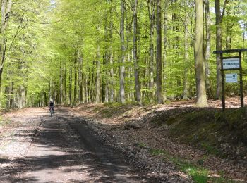
• Mooie makkelijke wandeling zonder te veel klimwerk
Stappen
Stappen
Stappen
Stappen
Stappen
Te voet
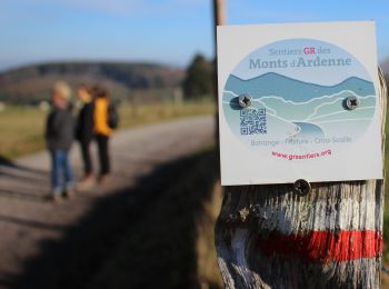
• Symbol: diamond
Te voet
• Trail created by Office du Tourisme Vielsalm. Symbol: rectangle
Mountainbike
• Trail created by Haute Ardenne.
Stappen
Stappen
Stappen
Stappen
Stappen
20 tochten weergegeven op 443
Gratisgps-wandelapplicatie
 SityTrail
IGN / Geografische instituten
SityTrail World
De wereld gaat voor u open