


13,1 km | 26 km-effort

Gebruiker


Gratisgps-wandelapplicatie
 SityTrail
IGN / Geografische instituten
SityTrail World
De wereld gaat voor u open
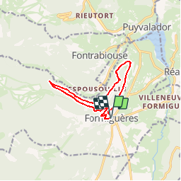
Tocht Mountainbike van 11,1 km beschikbaar op Occitanië, Pyrénées-Orientales, Formiguères. Deze tocht wordt voorgesteld door tracegps.
Espace VTT - FFC Capcir – Haut Confluent Circuit labellisé par la Fédération Française de Cyclisme. Parcours roulant sportif qui offre des panoramiques remarquables de la vallée du Galbe et des villages du Bas Capcir. Bac de Dellà signifie « coté à l’ombre », vous resterez donc à l’abri des chaleurs estivales.


Sneeuwschoenen
Stappen

Stappen
Stappen
Stappen
Stappen
Stappen
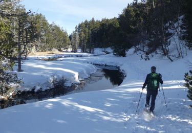
Sneeuwschoenen
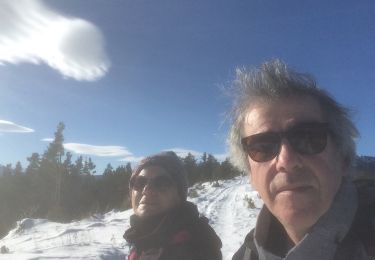
Sneeuwschoenen