


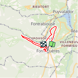

13.1 km | 26 km-effort

User


FREE GPS app for hiking
 SityTrail
IGN / Geographical institutes
SityTrail World
The world is yours!
Trail Mountain bike of 11.1 km to be discovered at Occitania, Pyrénées-Orientales, Formiguères. This trail is proposed by tracegps.
Espace VTT - FFC Capcir – Haut Confluent Circuit labellisé par la Fédération Française de Cyclisme. Parcours roulant sportif qui offre des panoramiques remarquables de la vallée du Galbe et des villages du Bas Capcir. Bac de Dellà signifie « coté à l’ombre », vous resterez donc à l’abri des chaleurs estivales.


Snowshoes
Walking

Walking
Walking
Walking
Walking
Walking
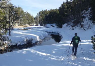
Snowshoes
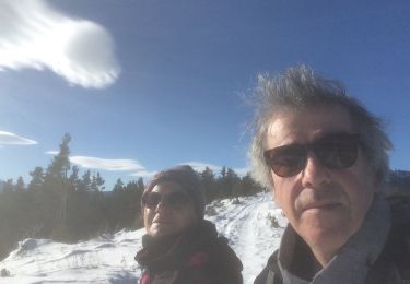
Snowshoes