


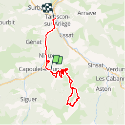


13,8 km | 21 km-effort


Gebruiker


Gratisgps-wandelapplicatie
 SityTrail
IGN / Geografische instituten
SityTrail World
De wereld gaat voor u open
Tocht Mountainbike van 30 km beschikbaar op Occitanië, Ariège, Miglos. Deze tocht wordt voorgesteld door tracegps.
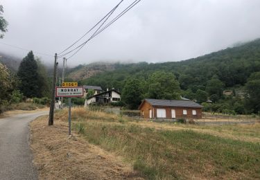
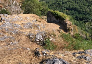
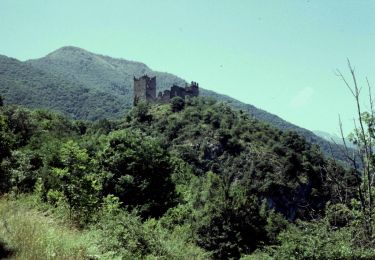
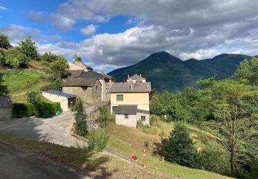
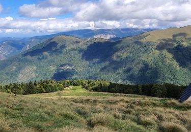
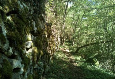
MIGLOS est une commune composée de cinq hameaux : Baychon, Arquizat, Norgeat, Axiat et Norrat, d'une superficie de 1876 ha. Ce nom viendrait de la transcription grecque du terme hébreu «MIGDOL», signifiant «tour» ou «forteresse», qui s'appliquait à bon nombre de localités fortifiées de la Syrie Méridionale. Le «Roc de Miglos», l'un des sites remarquable de ce territoire, culmine à 1708 m d'altitude. D'autres infos à découvrir sur le blog des VTTayres du Sabarthès!!
Elektrische fiets
Elektrische fiets
Te voet
Te voet
Stappen
Stappen
Stappen
Stappen

Stappen