


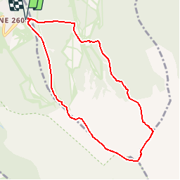

24 km | 43 km-effort

Gebruiker


Gratisgps-wandelapplicatie
 SityTrail
IGN / Geografische instituten
SityTrail World
De wereld gaat voor u open
Tocht Stappen van 8,9 km beschikbaar op Occitanië, Pyrénées-Orientales, Eyne. Deze tocht wordt voorgesteld door tracegps.
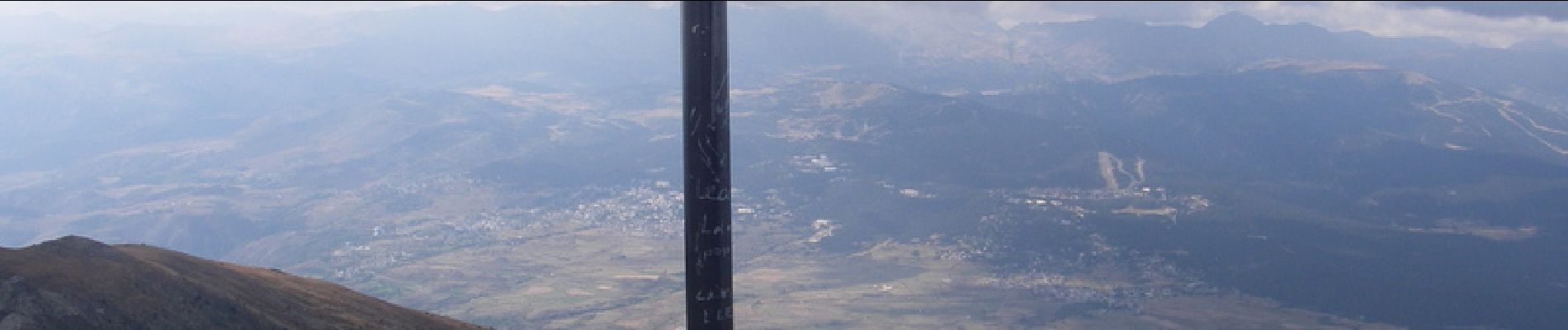
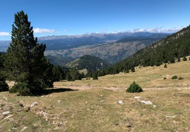
Belle randonnée qui domine Font Romeu et MontLouis. Départ raide sur les pistes de ski mais qui devient plus facile sur la deuxième partie. Vue sur l'Espagne au sommet.


Stappen

Stappen

Stappen
Stappen

Stappen
Stappen
Stappen
Stappen
Stappen
excellente application !