


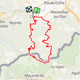

9,9 km | 13 km-effort


Gebruiker


Gratisgps-wandelapplicatie
 SityTrail
IGN / Geografische instituten
SityTrail World
De wereld gaat voor u open
Tocht Mountainbike van 42 km beschikbaar op Occitanië, Pyrénées-Orientales, Céret. Deze tocht wordt voorgesteld door tracegps.
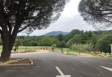
Départ de Céret très belle population du Vallespir. Le circuit est à cheval sur la France et la Catalogne (Santuari de Les Salines). Il y a un chemin à pied après le refuge (pas trop long).
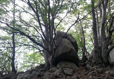
 - Photo 1")
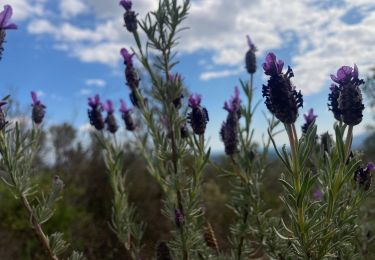
 - Photo 2")
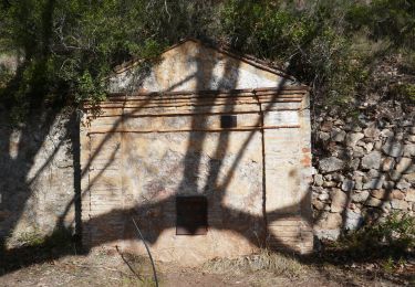
 - Photo 3")
 - Photo 4")
 - Photo 5")
 - Photo 6")

Stappen
Stappen

Stappen

Stappen
Stappen

Stappen
Stappen
Stappen
Stappen