


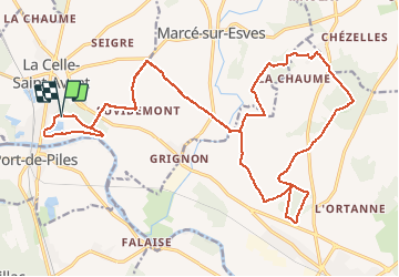

26 km | 29 km-effort


Gebruiker


Gratisgps-wandelapplicatie
 SityTrail
IGN / Geografische instituten
SityTrail World
De wereld gaat voor u open
Tocht Mountainbike van 28 km beschikbaar op Centre-Val de Loire, Indre-et-Loire, La Celle-Saint-Avant. Deze tocht wordt voorgesteld door tracegps.
La Rando VTT de la Celle Saint Avant édition 2011

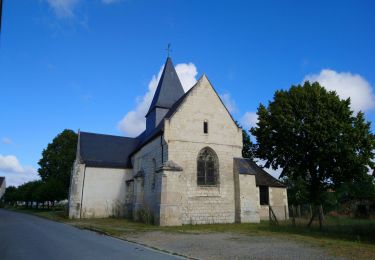
Stappen
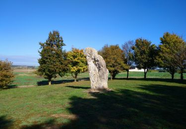
Stappen
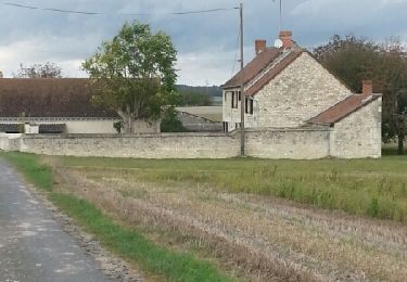
Stappen
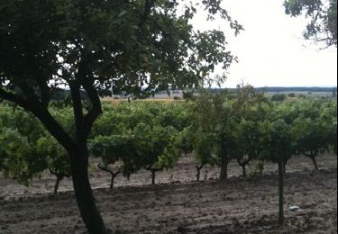
Stappen
Stappen
Stappen
Stappen

Stappen

Hybride fiets