


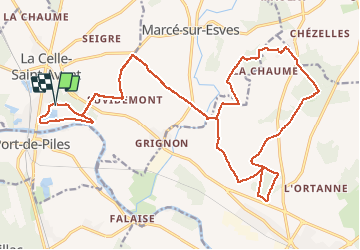

26 km | 29 km-effort


User


FREE GPS app for hiking
 SityTrail
IGN / Geographical institutes
SityTrail World
The world is yours!
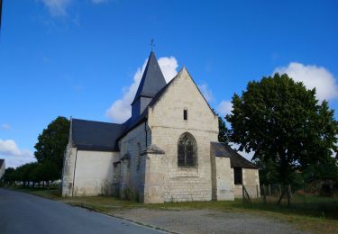
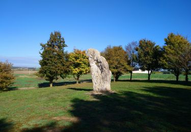
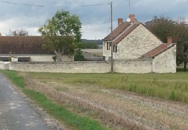
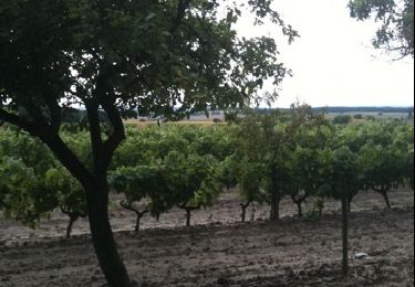
Trail Mountain bike of 28 km to be discovered at Centre-Loire Valley, Indre-et-Loire, La Celle-Saint-Avant. This trail is proposed by tracegps.
La Rando VTT de la Celle Saint Avant édition 2011

Walking
Walking
Walking
Walking
Walking
Walking
Walking

Walking

Hybrid bike