


12,1 km | 15,3 km-effort

Gebruiker


Gratisgps-wandelapplicatie
 SityTrail
IGN / Geografische instituten
SityTrail World
De wereld gaat voor u open
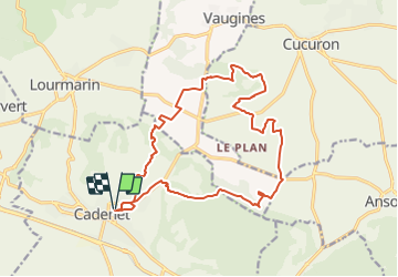
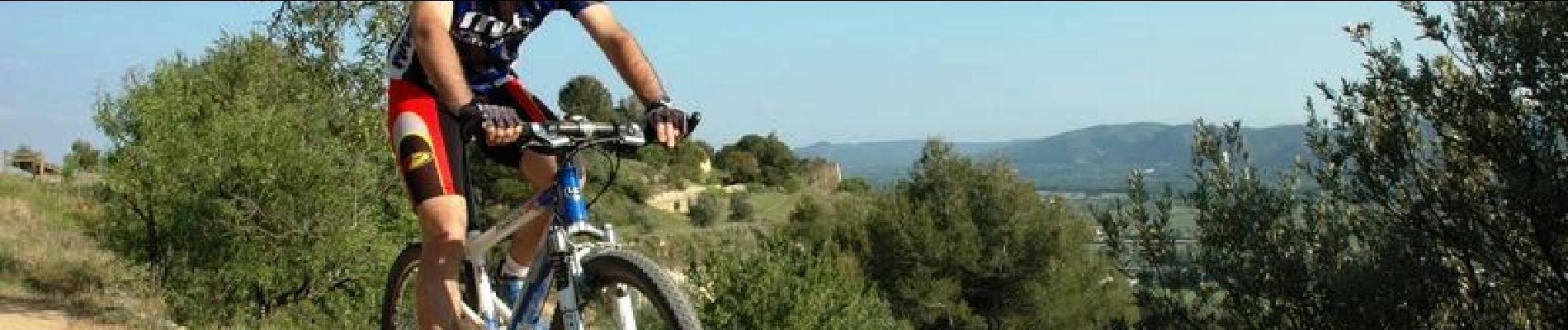
Tocht Mountainbike van 18,9 km beschikbaar op Provence-Alpes-Côte d'Azur, Vaucluse, Cadenet. Deze tocht wordt voorgesteld door tracegps.
L'édition 2006 de la rando la plus conviviale de l'année ! Tout est dit ICI


Stappen

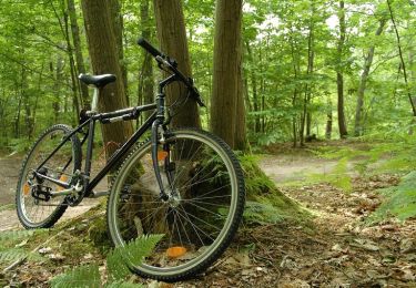
Mountainbike

Stappen
Mountainbike

Stappen
Stappen
Stappen
Stappen
Stappen