


12.1 km | 15.3 km-effort

User


FREE GPS app for hiking
 SityTrail
IGN / Geographical institutes
SityTrail World
The world is yours!
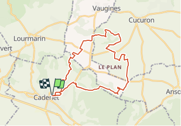
Trail Mountain bike of 18.9 km to be discovered at Provence-Alpes-Côte d'Azur, Vaucluse, Cadenet. This trail is proposed by tracegps.
L'édition 2006 de la rando la plus conviviale de l'année ! Tout est dit ICI


Walking

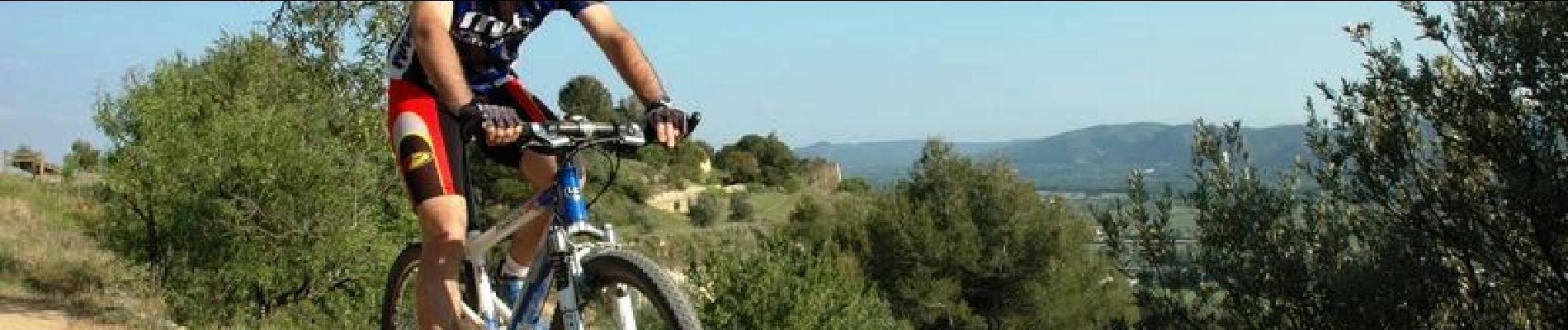
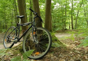
Mountain bike

Walking
Mountain bike

Walking
Walking
Walking
Walking
Walking