


13,9 km | 19,1 km-effort

Gebruiker


Gratisgps-wandelapplicatie
 SityTrail
IGN / Geografische instituten
SityTrail World
De wereld gaat voor u open
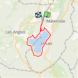
Tocht Stappen van 10,2 km beschikbaar op Occitanië, Pyrénées-Orientales, Matemale. Deze tocht wordt voorgesteld door tracegps.
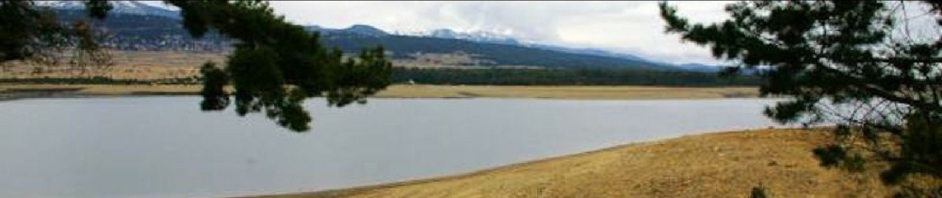
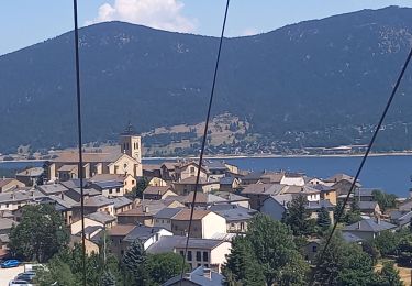
Une balade autour du Lac de Matemale près de la station des Angles. D’autres informations et photos sont disponibles ICI Balade proposée par « Les Balades et Randonnées de Fred »


Sneeuwschoenen
Stappen

Stappen
Stappen

Stappen

Sneeuwschoenen
Stappen
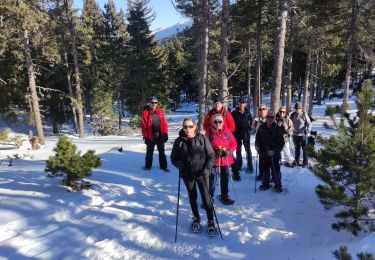
Sneeuwschoenen
Stappen
tres agreable